Free Zone · Costa Rica

Lima Free Zone and Business Park Active
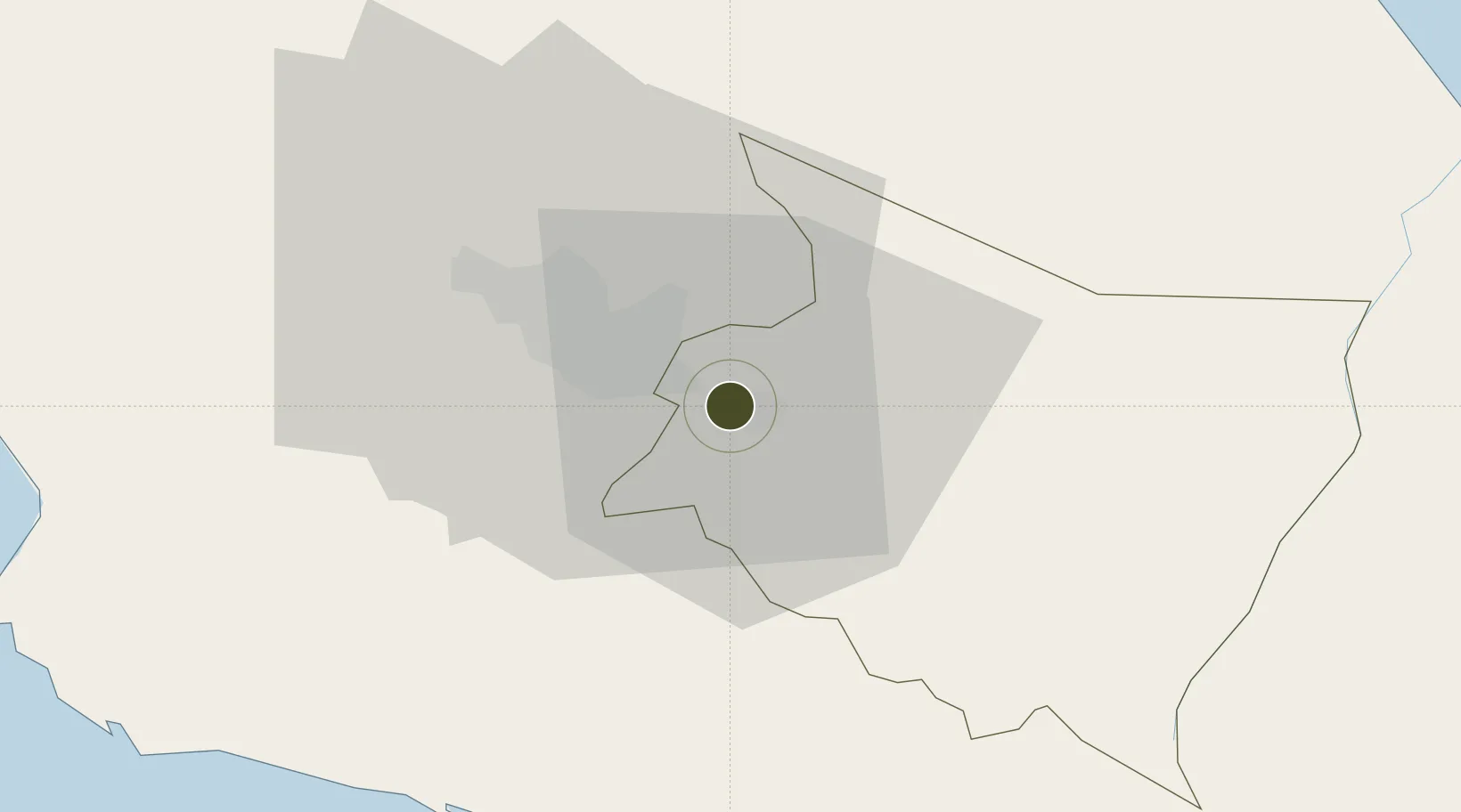
9.8664°, -83.9523°
79 ha
Zone area
53.6 km
Nearest port
22.9 km
Nearest airport

Gateway access

Nearest neighbours — logibook spatial index (haversine) over the source coordinates

Zone profile

Zone type
Free Zone
the World Bank SEZ database
Region
Cartago
the World Bank SEZ database
Status
Active
the World Bank SEZ database
Established
2013
the World Bank SEZ database
Management
Private management
the World Bank SEZ database
Operator
Garnier and Garnier Development
the World Bank SEZ database
Regulatory authority
Promotora del Comercio Exterior (PROCOMER)
the World Bank SEZ database
Legal framework
Free Zone Regime Act No 7210, Act No 8794 and its Bylaws
the World Bank SEZ database

Location

Location of CRI5
Natural Earth 10m (public domain) · Cartago · CRI5 · 9.87, -83.95GoogleOSMYandex

Fiscal & incentives

Corporate tax
30%
the World Bank SEZ database
Tax relief
100% exempt
the World Bank SEZ database
Relief duration
8 years
the World Bank SEZ database
VAT
100% exempt from sales tax on local purchas
the World Bank SEZ database
Import duty (inputs)
100% exempt
the World Bank SEZ database
Import duty (capex)
100% exempt
the World Bank SEZ database
Profit repatriation
No exemption
the World Bank SEZ database
Capital gains
No exemption
the World Bank SEZ database
Withholding tax
100% exempt from withholding tax on royalties, fees, and dividends
the World Bank SEZ database
Min. investment
$10M
the World Bank SEZ database
Min. export
50%
the World Bank SEZ database
Employment incentive
No exemption
the World Bank SEZ database
Developer incentive
No established framework
the World Bank SEZ database

Nearby Logistics Neighbours

Ports
  1. 1Puerto Quepos54 km
  2. 2Puerto Caldera84 km
  3. 3Puerto Moin96 km
  4. 4Puntarenas97 km
  5. 5Puerto Limon103 km
Nearest neighbours — logibook spatial index (haversine) over the source coordinates
Airports
  1. 1Tobías Bolaños International Airport23 km
  2. 2Juan Santamaría International Airport32 km
  3. 3Guapiles Airport43 km
  4. 4Quepos Managua Airport51 km
  5. 5Aerotortuguero Airport72 km
Nearest neighbours — logibook spatial index (haversine) over the source coordinates
Cities
  1. 1Cartago1 km
  2. 2Ochomogo4 km
  3. 3Tierra Blanca8 km
  4. 4Curridabat11 km
  5. 5Pacayas13 km
Nearest neighbours — logibook spatial index (haversine) over the source coordinates
Trade Zones
  1. 1Zeta Free Zone Catargo1 km
  2. 2El Roble Industrial Logistics Zone (RILZ)16 km
  3. 3Del Este Free Zone16 km
  4. 4Parque Empresarial Del Este16 km
  5. 5Torre Universal18 km
Nearest neighbours — logibook spatial index (haversine) over the source coordinates
DatabookThe Record of Consolidated Knowledge
Costa Rica beyond logistics?
Browse databook

All Sources

Trade Zonesthe World Bank SEZ database
CC BY 4.0
Portsthe NGA World Port Index
Public domain (US gov)
AirportsOurAirports
Public domain
LocationsUN/LOCODE
UN/LOCODE — free
← Costa Rica trade zones