Medium airport · Costa Rica
Coto 47 AirportMRCC
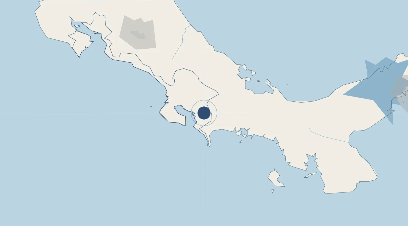
8.6016°, -82.9688°
3,281 ft
Longest runway
1
Runways
26 ft
Elevation
Runway & Layout

Radio Frequencies
RDO
126.8 MHz
COCO RDO
Navaids
COT NDB Coto 47 201 kHz
Runways · 1
| Runway | Dimensions | Surface | True heading | Lit |
|---|---|---|---|---|
| 18/36 | 3,281 × 66ft | Asphalt | 180° | ✓ |
Airport Specifications
IATA code
OTR
ICAO code
MRCC
Airport class
Medium airport
Scheduled service
No
Runway surface
Asphalt
Served city
Corredores
Location
Nearby Logistics Neighbours
Airports
- 1Golfito Airport24 km
- 2Puerto Jimenez Airport37 km
- 3Enrique Malek International Airport63 km
- 4Palmar Sur Airport67 km
- 5Buenos Aires Airport74 km
Ports
- 1Golfito22 km
- 2Puerto Armuelles40 km
- 3Charco Azul44 km
- 4Pedregal65 km
- 5Almirante100 km
Trade Zones
DatabookThe Record of Consolidated Knowledge
Costa Rica beyond logistics?