Medium airport · Panama

Changuinola Captain Manuel Niño International AirportMPCH
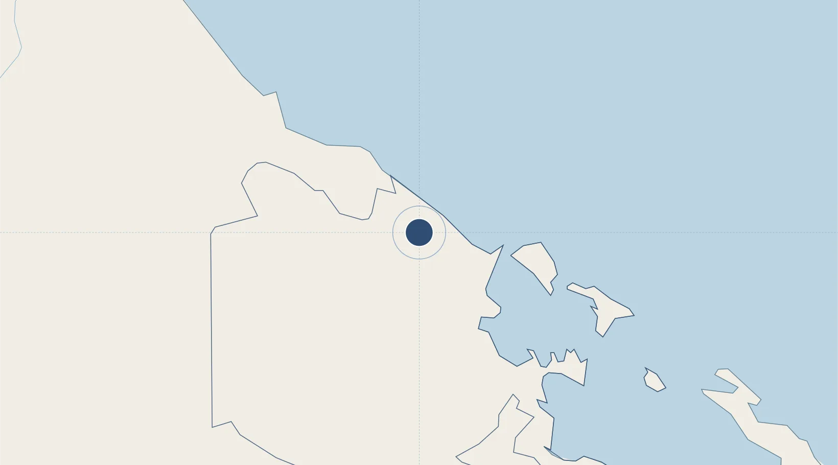
9.4590°, -82.5151°
3,609 ft
Longest runway
1
Runways
19 ft
Elevation

Runway & Layout

Changuinola Captain Manuel Niño International Airport runway & taxiway layout
Runway & taxiway layout — OpenStreetMap (ODbL) / OurAirports

Radio Frequencies

TWR
118.6 MHz
CHANGUINOLA TWR
GND
121.8 MHz
RDO
123.7 MHz
BOCAS RDO
OurAirports

Runways · 1

RunwayDimensions SurfaceTrue headingLit
03/21 3,609 × 82ft Asphalt 032°
OurAirports

Airport Specifications

IATA code
CHX
OurAirports
ICAO code
MPCH
OurAirports
Airport class
Medium airport
OurAirports
Scheduled service
Yes
OurAirports
Runway surface
Asphalt
OurAirports
Served city
Changuinola
OurAirports

Location

Location of MPCH
Natural Earth 10m (public domain) · Bocas del Toro · MPCH · 9.46, -82.52GoogleOSMYandex

Nearby Logistics Neighbours

Airports
  1. 1Bocas del Toro "Isla Colón" International Airport32 km
  2. 2Limón International Airport79 km
  3. 3Buenos Aires Airport95 km
  4. 4Coto 47 Airport108 km
  5. 5Golfito Airport116 km
Nearest neighbours — logibook spatial index (haversine) over the source coordinates
Cities
  1. 1Sixaola/Talamanca13 km
  2. 2Almirante23 km
  3. 3Bocas del Toro34 km
  4. 4Puerto Viejo35 km
  5. 5Chiriquí Grande72 km
Nearest neighbours — logibook spatial index (haversine) over the source coordinates
Ports
  1. 1Almirante22 km
  2. 2Bocas Del Toro34 km
  3. 3Chiriqui Grande72 km
  4. 4Puerto Limon80 km
  5. 5Puerto Moin87 km
Nearest neighbours — logibook spatial index (haversine) over the source coordinates
Trade Zones
  1. 1Caribe Industrial Park & Free Zone88 km
  2. 2FreeHold Free Zone127 km
  3. 3Baru Free Zone (Tourist and Multimodal Logistics Support Zone)137 km
  4. 4Zeta Free Zone Catargo164 km
  5. 5Lima Free Zone and Business Park164 km
Nearest neighbours — logibook spatial index (haversine) over the source coordinates
DatabookThe Record of Consolidated Knowledge
Panama beyond logistics?
Browse databook

All Sources

AirportsOurAirports
Public domain
Portsthe NGA World Port Index
Public domain (US gov)
LocationsUN/LOCODE
UN/LOCODE — free
Trade Zonesthe World Bank SEZ database
CC BY 4.0
Trade ZonesOpen Zone Map
CC BY
InfrastructureOpenStreetMap
ODbL 1.0
← Panama airports