Seaport · Costa Rica
Puerto LimonCRLIO
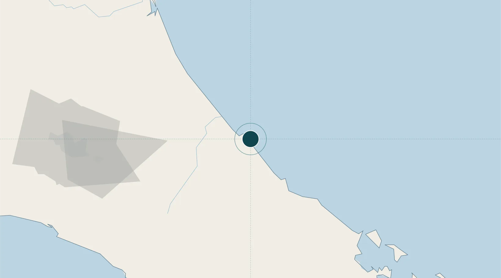
9.9833°, -83.0167°
11.5 m
Channel depth
1
Container terminals
60.3
Port liner connectivity
Channel & Berth Profile
Pilotage, Tugs & Services
Pilotage compulsoryYES
Pilotage availableYES
Pilotage advisableYES
Tug assistanceYES
Shore powerYES
Potable waterNO
Diesel bunkersYES
MedicalYES
Garbage disposalYES
Facilities & Capabilities
ContainerYES
Ro-RoYES
Liquid bulkYES
Dry bulkYES
Oil terminal—
Break bulkYES
Dry dock—
RepairsNO
BunkeringYES
Rail linkYES
Dangerous cargo—
ISPS securityYES
Harbour Specifications
Harbour size
Very Small
Harbour type
Coastal (Breakwater)
Shelter
Good
Water body
Caribbean Sea; North Atlantic Ocean
Tidal range
0.3 m
Overhead limit
No
Pilotage
Yes
Liner Connectivity
60.3
PLSCI
Port Liner Shipping Connectivity Index for Puerto Limon, as published by UNCTAD for the latest available quarter. Higher values indicate stronger scheduled liner-shipping integration.
Shown relative to the highest per-port PLSCI in the dataset (1,657.9).
Location
Container Terminals · 1
LIMON TERMINAL
JAPDE JAPDEVA
Nearby Logistics Neighbours
Ports
- 1Puerto Moin8 km
- 2Almirante102 km
- 3Bocas Del Toro112 km
- 4Puerto Quepos140 km
- 5Golfito151 km
Cities
- 1Moín9 km
- 2Limon15 km
- 3Aguas Zarcas16 km
- 4Búffalo17 km
- 5Playa Hermosa37 km
Airports
Trade Zones
DatabookThe Record of Consolidated Knowledge
Costa Rica beyond logistics?