Transport Functions
Port
Multimodal
Hub Profile
Region
L
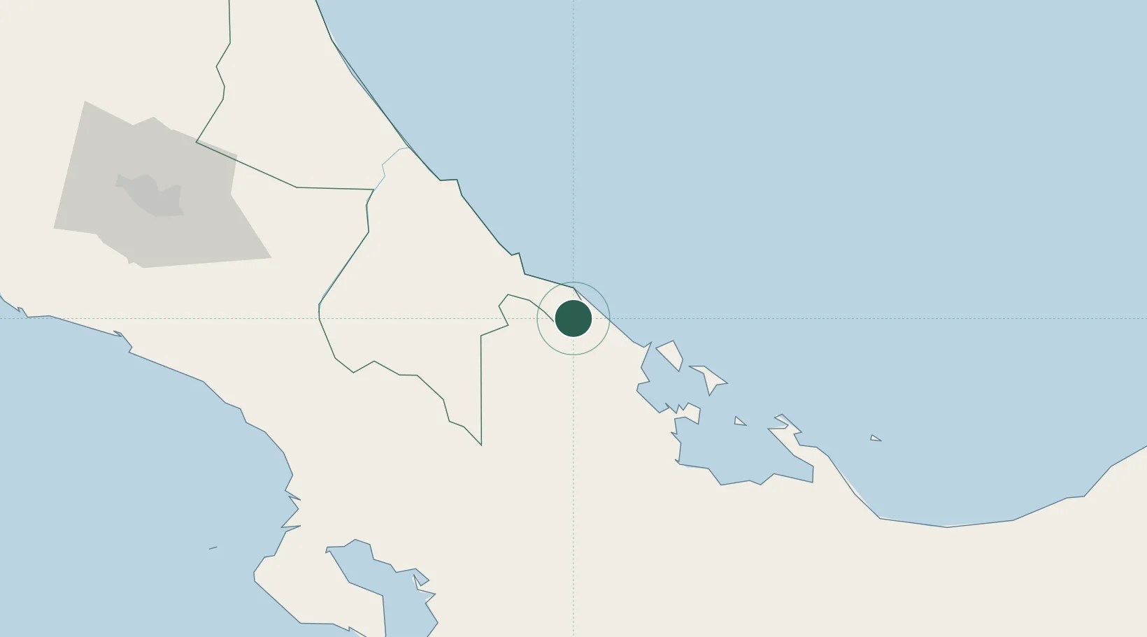
Location
Nearby Logistics Neighbours
Cities
- 1Puerto Viejo22 km
- 2Almirante36 km
- 3Bocas del Toro47 km
- 4Aguas Zarcas71 km
- 5Puerto Limón75 km
Ports
- 1Almirante34 km
- 2Bocas Del Toro47 km
- 3Puerto Limon68 km
- 4Puerto Moin74 km
- 5Chiriqui Grande84 km
Airports
Trade Zones
DatabookThe Record of Consolidated Knowledge
Costa Rica beyond logistics?