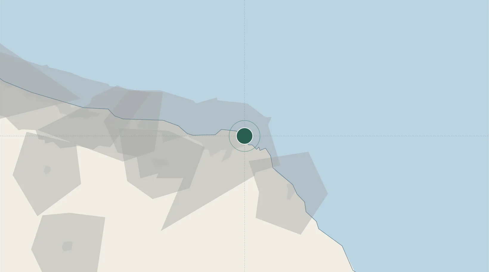
UN/LOCODE hub · Oman
OMSUL

Port Sultan

23.6167°, 58.6333°
1
Transport functions

Transport Functions

Port
UN/LOCODE

Location

Location of OMSUL
Natural Earth 10m (public domain) · Muscat · OMSUL · 23.62, 58.63GoogleOSMYandex

Nearby Logistics Neighbours

Cities
  1. 1Mina Sultan Qaboos, Muscat9 km
  2. 2Mina' al Fahl12 km
  3. 3Fahal16 km
  4. 4Muscat68 km
  5. 5Khazaen85 km
Nearest neighbours — logibook spatial index (haversine) over the source coordinates
Ports
  1. 1Mina Qabus5 km
  2. 2Mina Al Fahl12 km
  3. 3Qalhat Lng Terminal130 km
  4. 4Port Of Sohar226 km
  5. 5Jask241 km
Nearest neighbours — logibook spatial index (haversine) over the source coordinates
Airports
  1. 1Muscat International Airport36 km
  2. 2Mussanah Airport117 km
  3. 3Ras al Hadd Airport189 km
  4. 4Suhar International Airport221 km
  5. 5Jask Airport242 km
Nearest neighbours — logibook spatial index (haversine) over the source coordinates
Trade Zones
  1. 1Knowledge Oasis Muscat48 km
  2. 2Khazaen Economic City85 km
  3. 3Sohar Free Zone230 km
  4. 4Chābahār Trade Industrial Free Zone277 km
  5. 5Fujairah Creative City288 km
Nearest neighbours — logibook spatial index (haversine) over the source coordinates
DatabookThe Record of Consolidated Knowledge
Oman beyond logistics?
Browse databook

All Sources

LocationsUN/LOCODE
UN/LOCODE — free
Portsthe NGA World Port Index
Public domain (US gov)
AirportsOurAirports
Public domain
Trade Zonesthe World Bank SEZ database
CC BY 4.0
Trade ZonesOpen Zone Map
CC BY
← Oman locations