Seaport · Iran

Chah BaharIRZBR

25.2667°, 60.6167°
12.5 m
Channel depth
42.7
Port liner connectivity
Chah Bahar is also a UN/LOCODE logistics hub →

Channel & Berth Profile

SEA LEVEL (CD)CHANNEL BEDAnchorage · 10.0 mChannel · 12.5 mOil terminal · 14.0 mCargo pier · 16.0 m
NGA World Port Index

Pilotage, Tugs & Services

Pilotage compulsoryYES
Local assistanceYES
Tug assistanceYES
Potable waterYES
Diesel bunkersYES
MedicalYES
Garbage disposalYES
NGA World Port Index

Facilities & Capabilities

Container
Ro-Ro
Liquid bulk
Dry bulk
Oil terminal
Break bulk
Dry dock
RepairsNO
BunkeringYES
Rail link
Dangerous cargo
ISPS security
NGA World Port Index

Harbour Specifications

Harbour size
Very Small
NGA World Port Index
Harbour type
Coastal (Natural)
NGA World Port Index
Shelter
Fair
NGA World Port Index
Water body
Gulf of Oman; Indian Ocean
NGA World Port Index
Tidal range
2.5 m
NGA World Port Index
Pilotage
Yes
NGA World Port Index

Liner Connectivity

42.7
PLSCI

Port Liner Shipping Connectivity Index for Chah Bahar, as published by UNCTAD for the latest available quarter. Higher values indicate stronger scheduled liner-shipping integration.

Shown relative to the highest per-port PLSCI in the dataset (1,657.9).
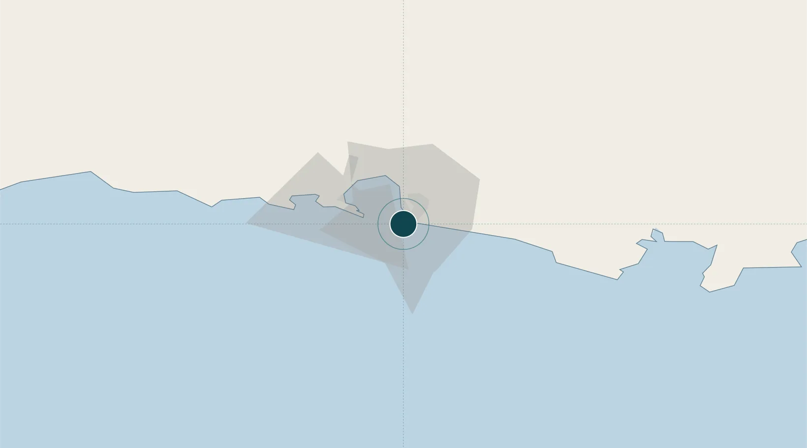
UNCTAD · Port Liner Shipping Connectivity Index

Location

Location of IRZBR
Natural Earth 10m (public domain) · Sistan and Baluchestan · IRZBR · 25.27, 60.62GoogleOSMYandex

Nearby Logistics Neighbours

Ports
  1. 1Gwadar170 km
  2. 2Mina Qabus275 km
  3. 3Mina Al Fahl280 km
  4. 4Jask289 km
  5. 5Qalhat Lng Terminal313 km
Nearest neighbours — logibook spatial index (haversine) over the source coordinates
Cities
  1. 1Port Sultan272 km
  2. 2Fahal277 km
  3. 3Mina Sultan Qaboos, Muscat278 km
  4. 4Mina' al Fahl280 km
  5. 5Qalhat312 km
Nearest neighbours — logibook spatial index (haversine) over the source coordinates
Airports
  1. 1Chabahar Konarak International Airport31 km
  2. 2Jiwani Airport (INACTIVE}122 km
  3. 3New Gwadar International Airport189 km
  4. 4Iranshahr Airport219 km
  5. 5Turbat International Airport255 km
Nearest neighbours — logibook spatial index (haversine) over the source coordinates
Trade Zones
  1. 1Chābahār Trade Industrial Free Zone6 km
  2. 2Gwadar Free Zone174 km
  3. 3Jazmurian Special Economic Zone306 km
  4. 4Knowledge Oasis Muscat312 km
  5. 5Khazaen Economic City342 km
Nearest neighbours — logibook spatial index (haversine) over the source coordinates
DatabookThe Record of Consolidated Knowledge
Iran beyond logistics?
Browse databook

All Sources

Portsthe NGA World Port Index
Public domain (US gov)
Logistics performanceUNCTAD
CC BY 3.0 IGO
AirportsOurAirports
Public domain
LocationsUN/LOCODE
UN/LOCODE — free
Trade Zonesthe World Bank SEZ database
CC BY 4.0
Trade ZonesOpen Zone Map
CC BY
← Iran ports