UN/LOCODE hub · Oman
OMMFH

Mina' al Fahl

23.6333°, 58.5167°
1
Transport functions

Transport Functions

Port
Mina' al Fahl is also a profiled seaport →
UN/LOCODE

Hub Profile

Place type
Urban district
GeoNames
Region
Muscat
GeoNames
Time zone
Asia/Muscat
GeoNames
Elevation
16 m
GeoNames

Location

Location of OMMFH
Natural Earth 10m (public domain) · Muscat · OMMFH · 23.63, 58.52GoogleOSMYandex

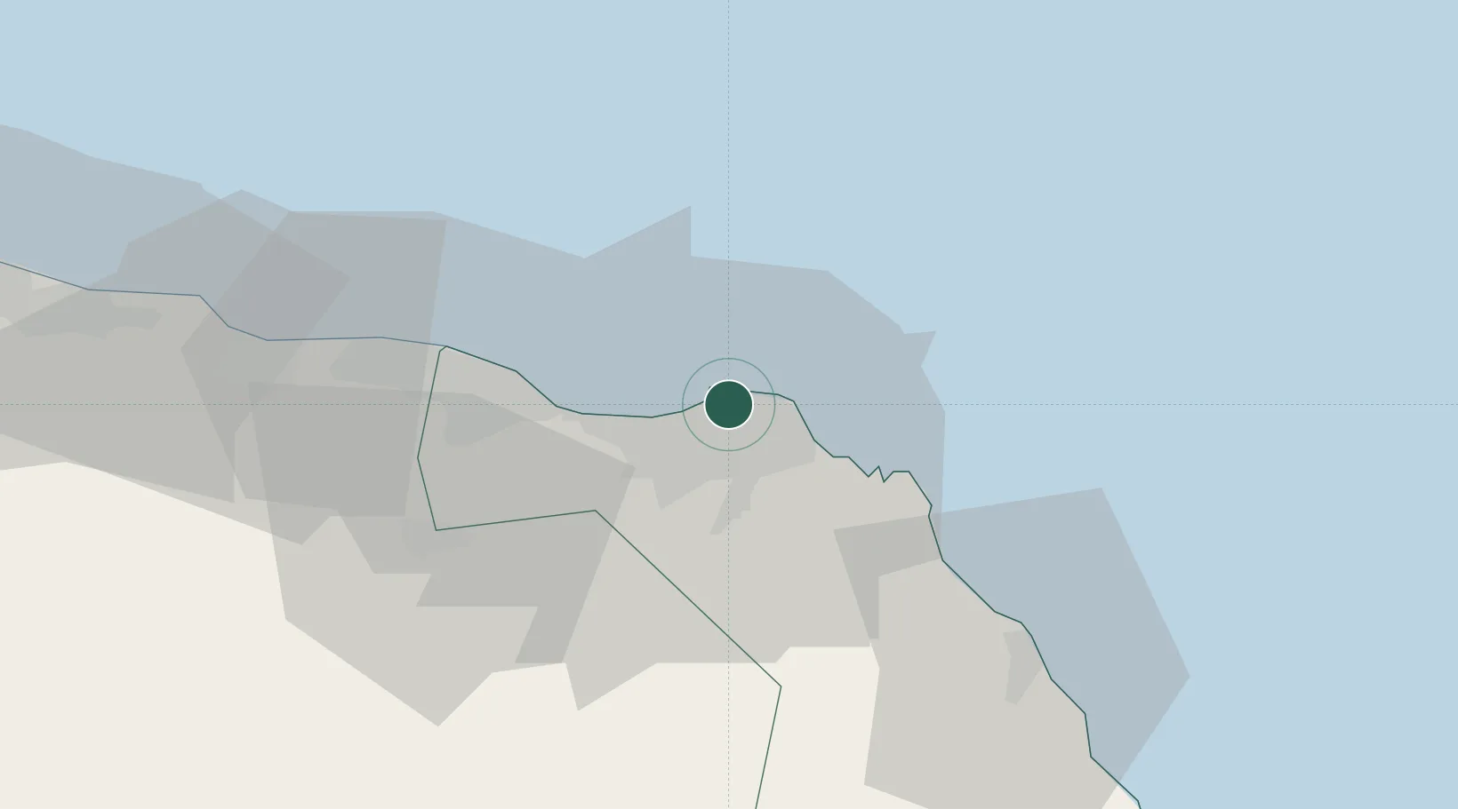
Nearby Logistics Neighbours

Cities
  1. 1Mina Sultan Qaboos, Muscat4 km
  2. 2Fahal6 km
  3. 3Port Sultan12 km
  4. 4Muscat56 km
  5. 5Khazaen74 km
Nearest neighbours — logibook spatial index (haversine) over the source coordinates
Ports
  1. 1Mina Qabus7 km
  2. 2Qalhat Lng Terminal139 km
  3. 3Port Of Sohar215 km
  4. 4Jask235 km
  5. 5Chah Bahar280 km
Nearest neighbours — logibook spatial index (haversine) over the source coordinates
Airports
  1. 1Muscat International Airport24 km
  2. 2Mussanah Airport105 km
  3. 3Ras al Hadd Airport198 km
  4. 4Suhar International Airport210 km
  5. 5Jask Airport236 km
Nearest neighbours — logibook spatial index (haversine) over the source coordinates
Trade Zones
  1. 1Knowledge Oasis Muscat36 km
  2. 2Khazaen Economic City74 km
  3. 3Sohar Free Zone218 km
  4. 4Fujairah Creative City277 km
  5. 5Fujairah Free Zone278 km
Nearest neighbours — logibook spatial index (haversine) over the source coordinates
DatabookThe Record of Consolidated Knowledge
Oman beyond logistics?
Browse databook

All Sources

LocationsUN/LOCODE
UN/LOCODE — free
Portsthe NGA World Port Index
Public domain (US gov)
AirportsOurAirports
Public domain
Trade Zonesthe World Bank SEZ database
CC BY 4.0
Trade ZonesOpen Zone Map
CC BY
← Oman locations