Diversified Zone · Iran

Chābahār Trade Industrial Free Zone Active
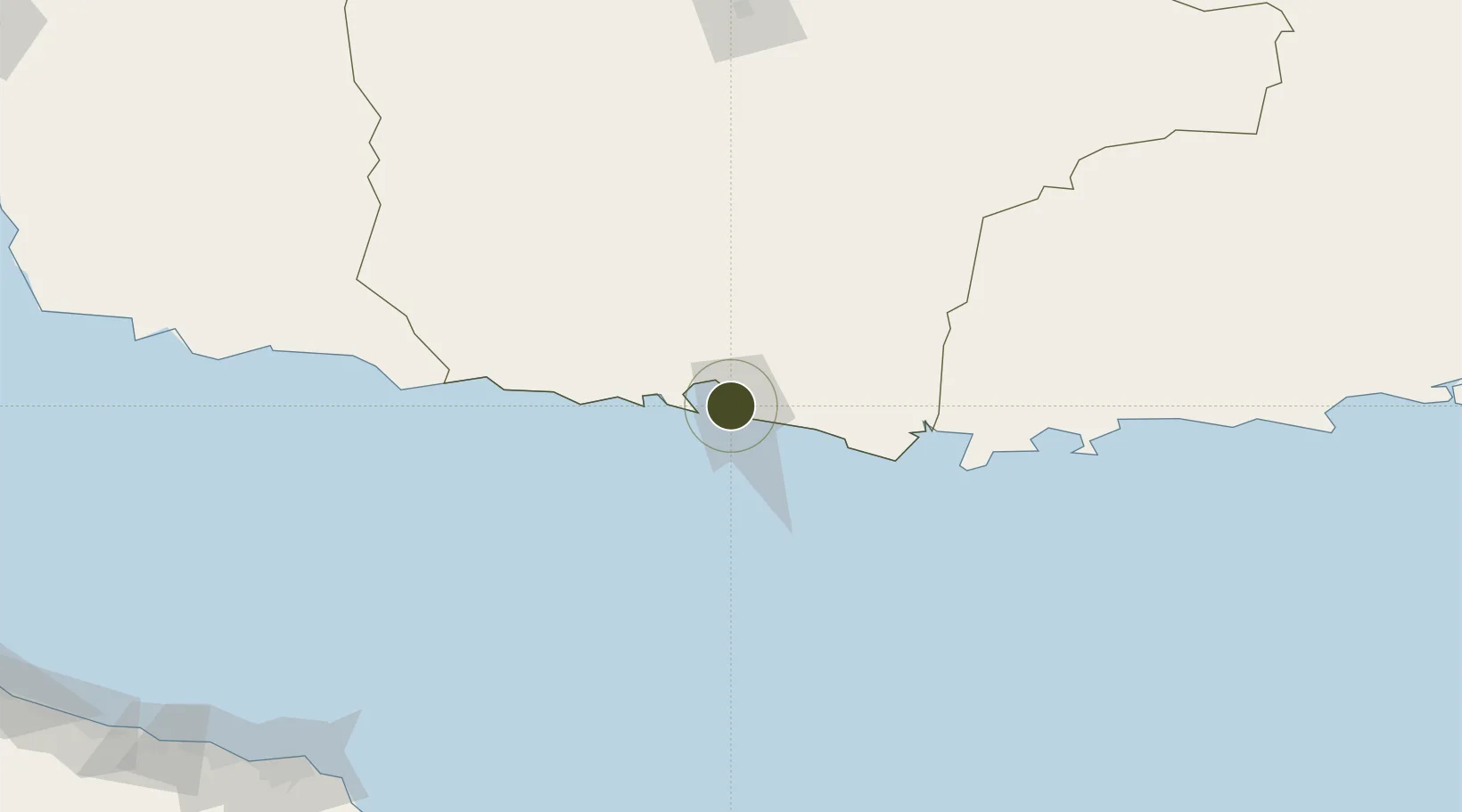
25.3229°, 60.6249°
140 ha
Zone area
6.3 km
Nearest port
27.8 km
Nearest airport

Gateway access

Nearest neighbours — logibook spatial index (haversine) over the source coordinates

Zone profile

Zone type
Diversified Zone
Open Zone Map
Region
Sistan and Baluchestan
Open Zone Map
Status
Active
Open Zone Map
Management
Public
Open Zone Map
Operator
Chabahar Trade Industrial Free Zone Organization
Open Zone Map
Legal framework
Law on the Administration of Free Trade-Industrial Zones of the Islamic Republic of Iran
Open Zone Map

Location

Location of ozm-2471
Natural Earth 10m (public domain) · Sistan and Baluchestan · ozm-2471 · 25.32, 60.62GoogleOSMYandex

Nearby Logistics Neighbours

Ports
  1. 1Chah Bahar6 km
  2. 2Gwadar170 km
  3. 3Mina Qabus279 km
  4. 4Mina Al Fahl284 km
  5. 5Jask289 km
Nearest neighbours — logibook spatial index (haversine) over the source coordinates
Airports
  1. 1Chabahar Konarak International Airport28 km
  2. 2Jiwani Airport (INACTIVE}122 km
  3. 3New Gwadar International Airport188 km
  4. 4Iranshahr Airport213 km
  5. 5Turbat International Airport252 km
Nearest neighbours — logibook spatial index (haversine) over the source coordinates
Cities
  1. 1Chah Bahar1 km
  2. 2Port Sultan277 km
  3. 3Fahal282 km
  4. 4Mina Sultan Qaboos, Muscat283 km
  5. 5Mina' al Fahl284 km
Nearest neighbours — logibook spatial index (haversine) over the source coordinates
Trade Zones
  1. 1Gwadar Free Zone174 km
  2. 2Jazmurian Special Economic Zone302 km
  3. 3Knowledge Oasis Muscat316 km
  4. 4Khazaen Economic City346 km
  5. 5Sohar Free Zone417 km
Nearest neighbours — logibook spatial index (haversine) over the source coordinates
DatabookThe Record of Consolidated Knowledge
Iran beyond logistics?
Browse databook

All Sources

Trade ZonesOpen Zone Map
CC BY
Portsthe NGA World Port Index
Public domain (US gov)
AirportsOurAirports
Public domain
LocationsUN/LOCODE
UN/LOCODE — free
← Iran trade zones