Runway & Layout

Airport Specifications
IATA code
MNH
ICAO code
OOMN
Airport class
Medium airport
Scheduled service
No
Served city
Al Masna'ah
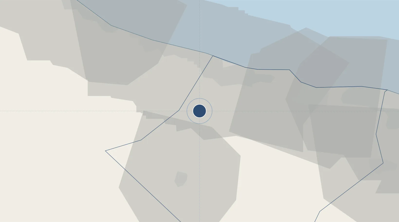
Location
Nearby Logistics Neighbours
Airports
- 1Muscat International Airport81 km
- 2Suhar International Airport121 km
- 3Fujairah International Airport201 km
- 4Al Ain International Airport203 km
- 5Jask Airport226 km
Ports
- 1Mina Al Fahl105 km
- 2Mina Qabus112 km
- 3Port Of Sohar130 km
- 4Khawr Fakkan222 km
- 5Qalhat Lng Terminal223 km
Trade Zones
- 1Khazaen Economic City33 km
- 2Knowledge Oasis Muscat70 km
- 3Sohar Free Zone132 km
- 4Al Ain Industrial City194 km
- 5Fujairah Creative City203 km
DatabookThe Record of Consolidated Knowledge
Oman beyond logistics?