Transport Functions
Port
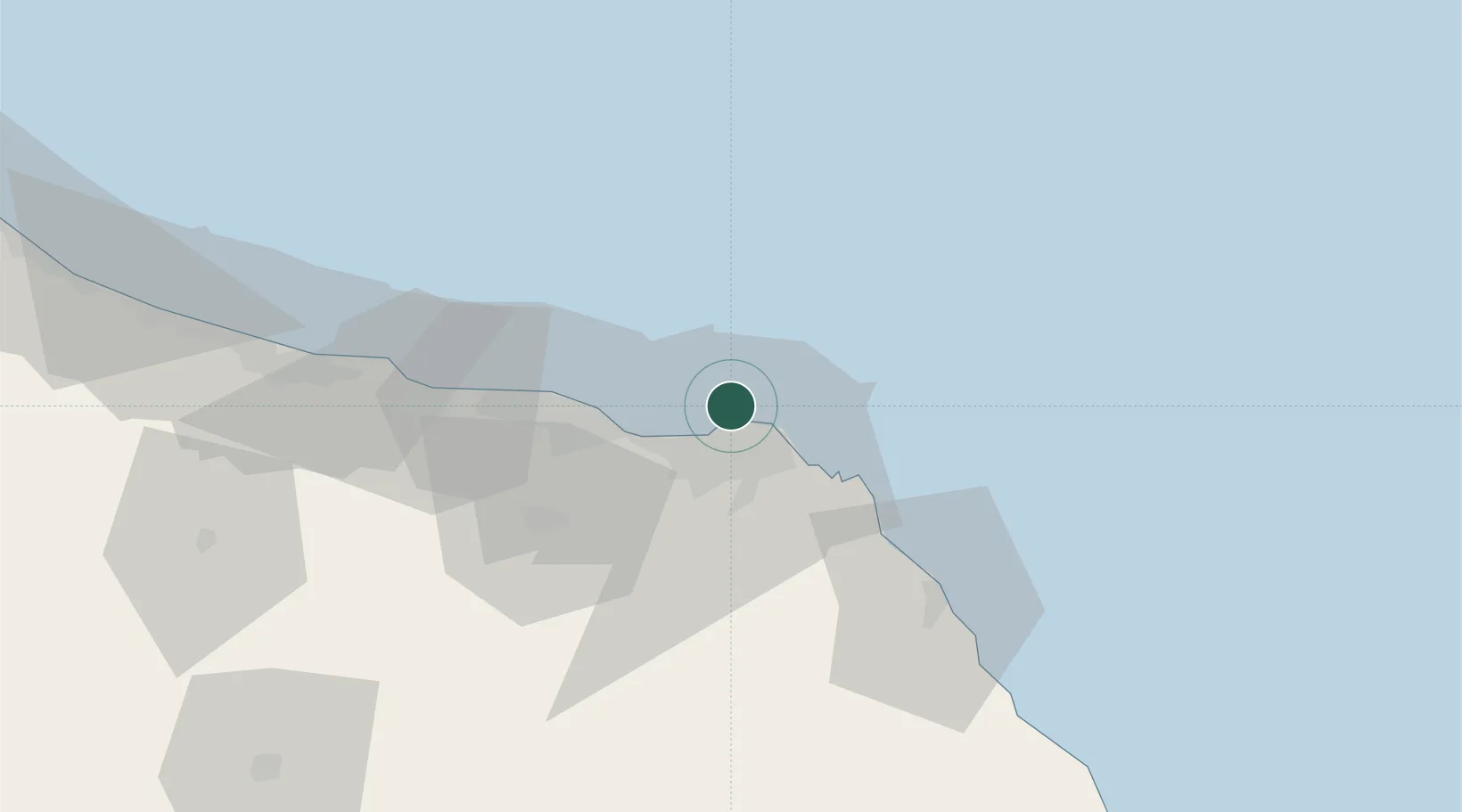
Hub Profile
Region
MA
Location
Nearby Logistics Neighbours
Cities
- 1Mina' al Fahl6 km
- 2Mina Sultan Qaboos, Muscat9 km
- 3Port Sultan16 km
- 4Muscat54 km
- 5Khazaen73 km
Ports
- 1Mina Al Fahl6 km
- 2Mina Qabus10 km
- 3Qalhat Lng Terminal144 km
- 4Port Of Sohar211 km
- 5Jask229 km
Airports
- 1Muscat International Airport24 km
- 2Mussanah Airport103 km
- 3Ras al Hadd Airport203 km
- 4Suhar International Airport206 km
- 5Jask Airport230 km
Trade Zones
- 1Knowledge Oasis Muscat36 km
- 2Khazaen Economic City73 km
- 3Sohar Free Zone214 km
- 4Fujairah Creative City272 km
- 5Fujairah Free Zone273 km
DatabookThe Record of Consolidated Knowledge
Oman beyond logistics?