Medium airport · Iran
Chabahar Konarak International AirportOIZC
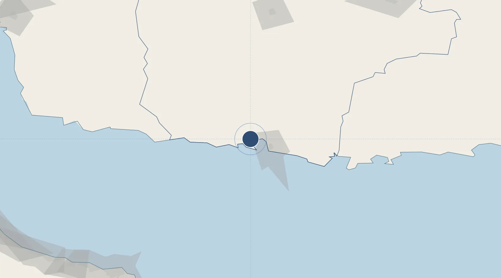
25.4432°, 60.3822°
12,514 ft
Longest runway
2
Runways
13 ft
Elevation
Runway & Layout

Radio Frequencies
TWR
31.75 MHz
TWR
125.2 MHz
APP
134.1 MHz
Navaids
CBH VORTAC Chah Bahar 116.90 MHz
Runways · 2
| Runway | Dimensions | Surface | True heading | Lit |
|---|---|---|---|---|
| 09L/27R | 12,514 × 150ft | Asphalt | 091° | ✓ |
| 09R/27L | 9,844 × 150ft | Asphalt | 091° | — |
Airport Specifications
IATA code
ZBR
ICAO code
OIZC
Airport class
Medium airport
Scheduled service
Yes
Runway surface
Asphalt
Served city
Konarak
Location
Nearby Logistics Neighbours
Airports
- 1Jiwani Airport (INACTIVE}149 km
- 2Iranshahr Airport202 km
- 3New Gwadar International Airport213 km
- 4Jask Airport260 km
- 5Turbat International Airport272 km
Cities
- 1Chah Bahar28 km
- 2Port Sultan269 km
- 3Fahal273 km
- 4Mina Sultan Qaboos, Muscat275 km
- 5Mina' al Fahl276 km
Ports
- 1Chah Bahar31 km
- 2Gwadar196 km
- 3Jask263 km
- 4Mina Qabus271 km
- 5Mina Al Fahl276 km
Trade Zones
- 1Chābahār Trade Industrial Free Zone28 km
- 2Gwadar Free Zone200 km
- 3Jazmurian Special Economic Zone277 km
- 4Knowledge Oasis Muscat306 km
- 5Khazaen Economic City335 km
DatabookThe Record of Consolidated Knowledge
Iran beyond logistics?