Channel & Berth Profile
Pilotage, Tugs & Services
Pilotage compulsoryNO
Pilotage availableYES
Pilotage advisableYES
Tug assistanceYES
Salvage tugsNO
Potable waterYES
Diesel bunkersYES
MedicalYES
Garbage disposalYES
Facilities & Capabilities
Container—
Ro-Ro—
Liquid bulk—
Dry bulk—
Oil terminal—
Break bulk—
Dry dock—
RepairsNO
BunkeringYES
Rail linkYES
Dangerous cargo—
ISPS security—
Harbour Specifications
Harbour size
Very Small
Harbour type
River (Natural)
Shelter
Good
Water body
Tasman Sea; South Pacific Ocean
Tidal range
2 m
Overhead limit
Yes
Pilotage
No
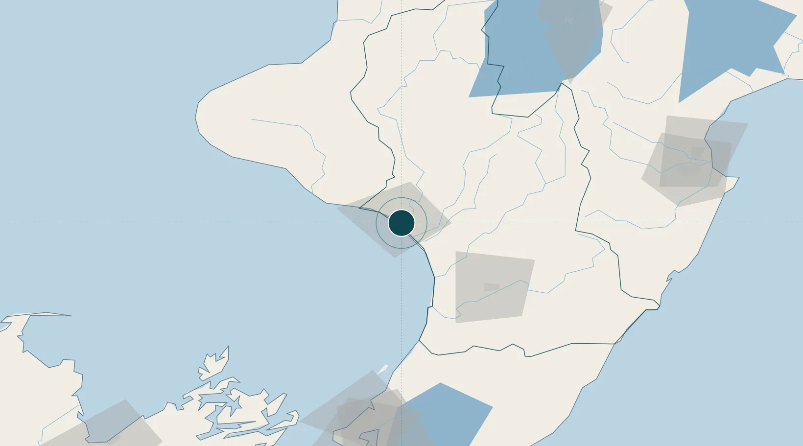
Location
Nearby Logistics Neighbours
Ports
- 1New Plymouth130 km
- 2Wellington150 km
- 3Napier169 km
- 4Picton171 km
- 5Tarakohe207 km
Cities
- 1Longburn65 km
- 2Shannon73 km
- 3Waiouru76 km
- 4Dannevirke94 km
- 5Stratford94 km
Airports
- 1Wanganui Airport2 km
- 2RNZAF Base Ohakea42 km
- 3Palmerston North Airport65 km
- 4Otaki Airport93 km
- 5Paraparaumu Airport106 km
Trade Zones
- 1Hicks Bay Area Special Economic Zone375 km
- 2Rotuma-Kadavu Tax-Free Region2447 km
- 3Kalabu Tax Free Zone2453 km
- 4Nausori-Ba Tax-Free Region2461 km
- 5Latrobe Valley Economic Growth Zone2469 km
DatabookThe Record of Consolidated Knowledge
New Zealand beyond logistics?