Runway & Layout

Airport Specifications
ICAO code
NZOT
Airport class
Small airport
Scheduled service
Yes
Served city
Otaki
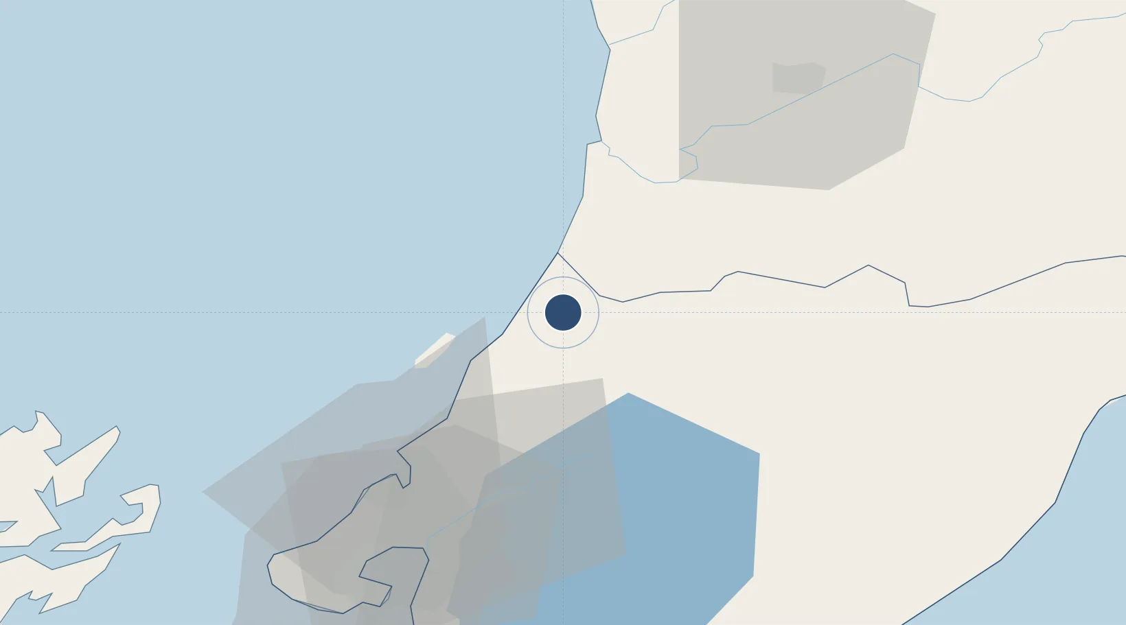
Location
Nearby Logistics Neighbours
Airports
- 1Paraparaumu Airport19 km
- 2Hood Airport46 km
- 3Palmerston North Airport65 km
- 4Wellington International Airport67 km
- 5RNZAF Base Ohakea68 km
Cities
- 1Paekakariki26 km
- 2Shannon36 km
- 3Trentham40 km
- 4Longburn56 km
- 5Wellington61 km
Ports
- 1Wellington63 km
- 2Wanganui93 km
- 3Picton110 km
- 4Nelson167 km
- 5Tarakohe190 km
Trade Zones
- 1Hicks Bay Area Special Economic Zone438 km
- 2Latrobe Valley Economic Growth Zone2473 km
- 3Rotuma-Kadavu Tax-Free Region2537 km
- 4Kalabu Tax Free Zone2544 km
- 5Nausori-Ba Tax-Free Region2551 km
DatabookThe Record of Consolidated Knowledge
New Zealand beyond logistics?