Medium airport · New Zealand
Palmerston North AirportNZPM
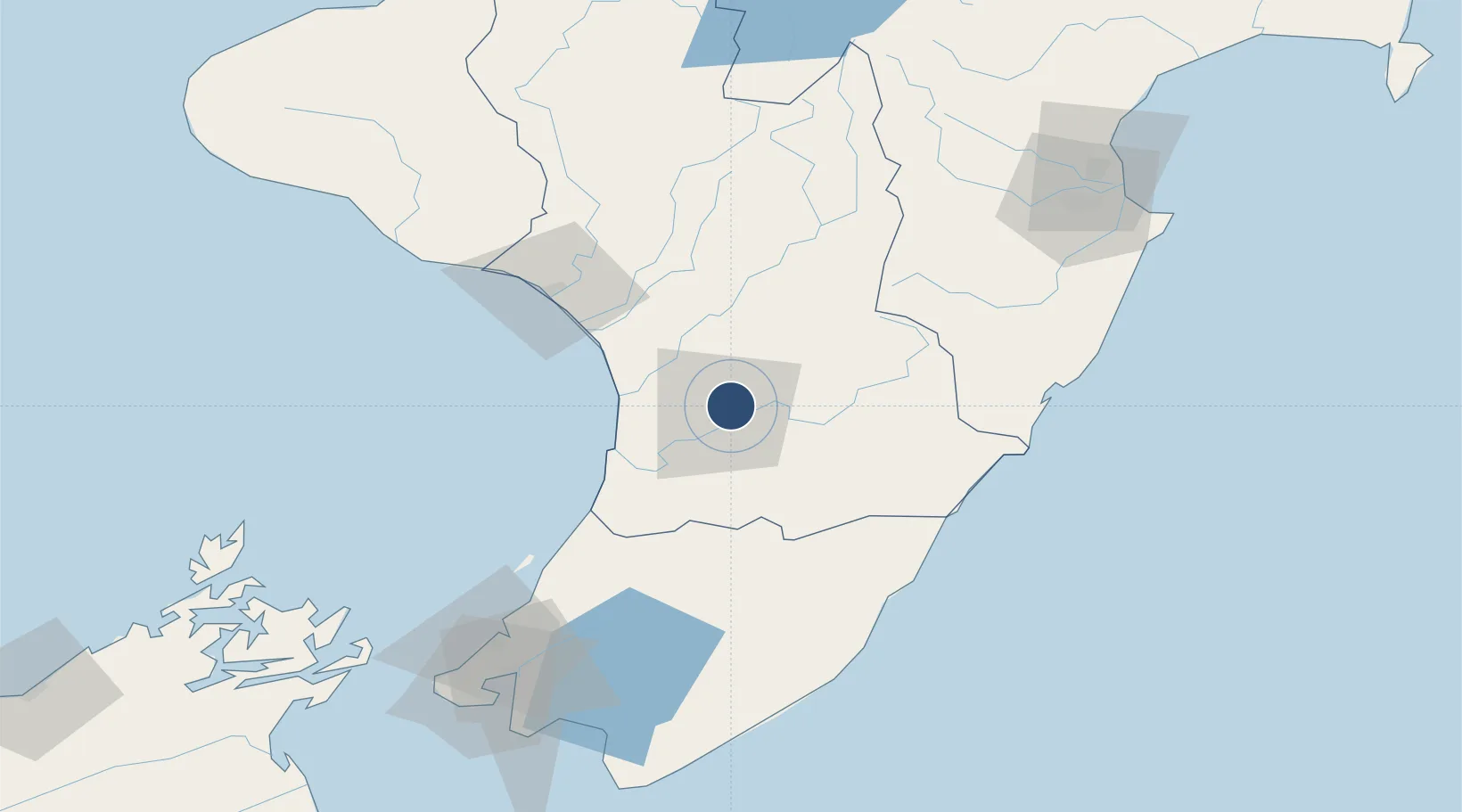
-40.3206°, 175.6170°
6,240 ft
Longest runway
3
Runways
151 ft
Elevation
Runway & Layout

Radio Frequencies
ATIS
129.7 MHz
TWR
120.6 MHz
GND
121.7 MHz
APP
125.1 MHz
OHAKEA APP
CTAF
120.6 MHz
Navaids
PM VOR-DME Palmerston North 113.40 MHz
PM NDB Palmerston North 258 kHz
Runways · 3
| Runway | Dimensions | Surface | True heading | Lit |
|---|---|---|---|---|
| 07/25 | 6,240 × 148ft | Unknown | — | — |
| 07L/25R | 6,240 × 148ft | Asphalt | 090° | ✓ |
| 07R/25L | 1,995 × 197ft | Grass | 090° | — |
Airport Specifications
IATA code
PMR
ICAO code
NZPM
Airport class
Medium airport
Scheduled service
Yes
Runway surface
Unknown
Served city
Palmerston North
Location
Nearby Logistics Neighbours
Airports
- 1RNZAF Base Ohakea23 km
- 2Wanganui Airport64 km
- 3Otaki Airport65 km
- 4Hood Airport73 km
- 5Paraparaumu Airport84 km
Cities
- 1Longburn9 km
- 2Shannon29 km
- 3Dannevirke42 km
- 4Wanganui69 km
- 5Paekakariki91 km
Ports
- 1Wanganui65 km
- 2Wellington128 km
- 3Napier145 km
- 4Picton172 km
- 5New Plymouth194 km
Trade Zones
- 1Hicks Bay Area Special Economic Zone373 km
- 2Rotuma-Kadavu Tax-Free Region2481 km
- 3Kalabu Tax Free Zone2487 km
- 4Nausori-Ba Tax-Free Region2495 km
- 5Latrobe Valley Economic Growth Zone2515 km
DatabookThe Record of Consolidated Knowledge
New Zealand beyond logistics?