Medium airport · New Zealand
Paraparaumu AirportNZPP
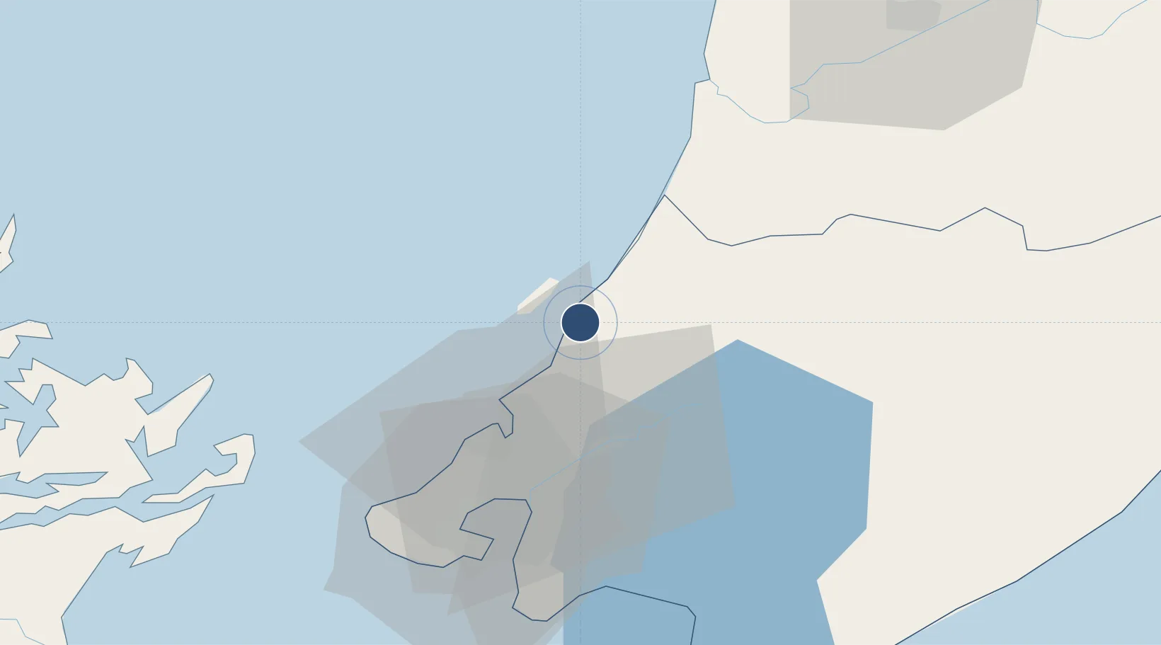
-40.9047°, 174.9890°
4,429 ft
Longest runway
5
Runways
22 ft
Elevation
Runway & Layout

Radio Frequencies
APP
122.3 MHz
WELLINGTON APP
CTAF
118.3 MHz
AWIB
128.4 MHz
Navaids
PP NDB-DME Paraparaumu 0.24 MHz
Runways · 5
| Runway | Dimensions | Surface | True heading | Lit |
|---|---|---|---|---|
| 16R/34L | 4,429 × 148ft | Asphalt | 181° | ✓ |
| 11L/29R | 3,366 × 98ft | Asphalt | 134° | — |
| 16L/34R | 2,001 × 295ft | Grass | 181° | — |
| 11R/29L | 1,345 × 295ft | Grass | 134° | — |
| 16/34 | — | Unknown | — | — |
Airport Specifications
IATA code
PPQ
ICAO code
NZPP
Airport class
Medium airport
Scheduled service
No
Runway surface
Asphalt
Location
Nearby Logistics Neighbours
Airports
- 1Otaki Airport19 km
- 2Wellington International Airport49 km
- 3Hood Airport55 km
- 4Palmerston North Airport84 km
- 5RNZAF Base Ohakea85 km
Cities
- 1Paekakariki8 km
- 2Trentham26 km
- 3Wellington43 km
- 4Pipitea44 km
- 5Shelly Bay45 km
Ports
- 1Wellington46 km
- 2Picton92 km
- 3Wanganui106 km
- 4Nelson150 km
- 5Tarakohe176 km
Trade Zones
- 1Hicks Bay Area Special Economic Zone457 km
- 2Latrobe Valley Economic Growth Zone2458 km
- 3Rotuma-Kadavu Tax-Free Region2552 km
- 4Kalabu Tax Free Zone2559 km
- 5Nausori-Ba Tax-Free Region2566 km
DatabookThe Record of Consolidated Knowledge
New Zealand beyond logistics?