Transport Functions
Rail
Road
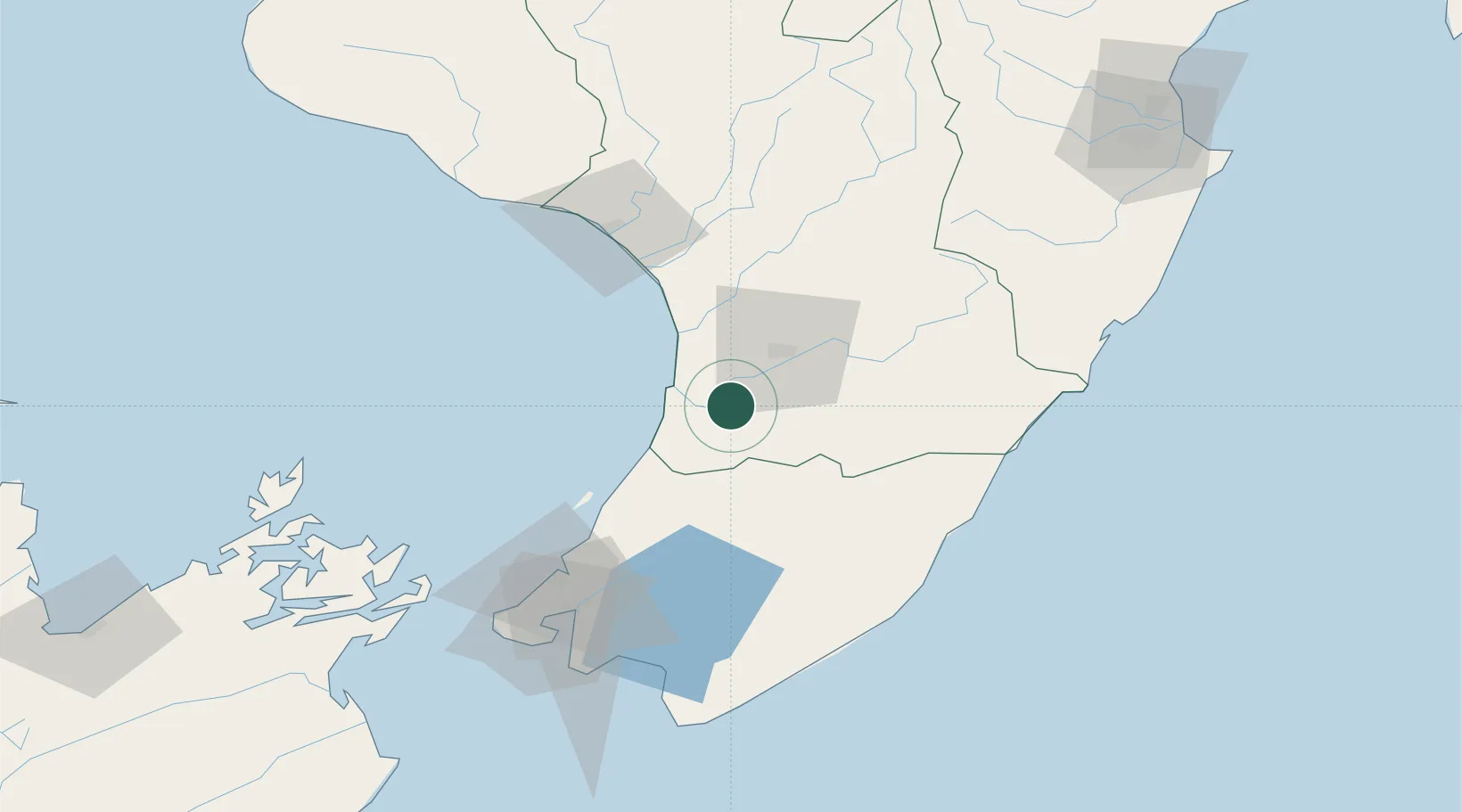
Hub Profile
Place type
Populated place
Region
Manawatu-Wanganui
Population
1,610
Time zone
Pacific/Auckland
Elevation
25 m
Location
Nearby Logistics Neighbours
Cities
- 1Longburn20 km
- 2Paekakariki62 km
- 3Dannevirke68 km
- 4Trentham74 km
- 5Wanganui76 km
Ports
- 1Wanganui73 km
- 2Wellington99 km
- 3Picton144 km
- 4Napier173 km
- 5Nelson198 km
Airports
- 1Palmerston North Airport29 km
- 2Otaki Airport36 km
- 3RNZAF Base Ohakea37 km
- 4Hood Airport52 km
- 5Paraparaumu Airport55 km
Trade Zones
- 1Hicks Bay Area Special Economic Zone402 km
- 2Latrobe Valley Economic Growth Zone2496 km
- 3Rotuma-Kadavu Tax-Free Region2506 km
- 4Kalabu Tax Free Zone2513 km
- 5Nausori-Ba Tax-Free Region2520 km
DatabookThe Record of Consolidated Knowledge
New Zealand beyond logistics?