Free Trade Zone · Fiji
Nausori-Ba Tax-Free Region Active
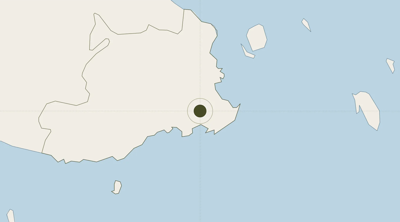
-18.0266°, 178.5228°
16.3 km
Nearest port
4.5 km
Nearest airport
Gateway access
Zone profile
Zone type
Free Trade Zone
Region
Central
Status
Active
Management
Public
Operator
Fiji Revenue and Customs Authority
Legal framework
Legal Notice No. 56 on Tax Free Region Incentives
Location
Nearby Logistics Neighbours
Ports
- 1Suva Harbor16 km
- 2Lautoka Harbor123 km
- 3Savusavu Bay164 km
- 4Funafuti Atoll1060 km
- 5Port Vila1080 km
Airports
- 1Nausori International Airport5 km
- 2Levuka Airfield43 km
- 3Ngau Airport87 km
- 4Nadi International Airport119 km
- 5Vunisea Airport121 km
Cities
- 1Suva28 km
- 2Ellington Wharf82 km
- 3Vatia Wharf106 km
- 4Singatoka108 km
- 5Nambouwalu118 km
Trade Zones
- 1Kalabu Tax Free Zone8 km
- 2Rotuma-Kadavu Tax-Free Region17 km
- 3Lautoka Special Zone124 km
- 4Savusavu Industrial Zone163 km
- 5Vanua Levu Tax-Free Region164 km
DatabookThe Record of Consolidated Knowledge
Fiji beyond logistics?