UN/LOCODE hub · New Zealand
NZSTR
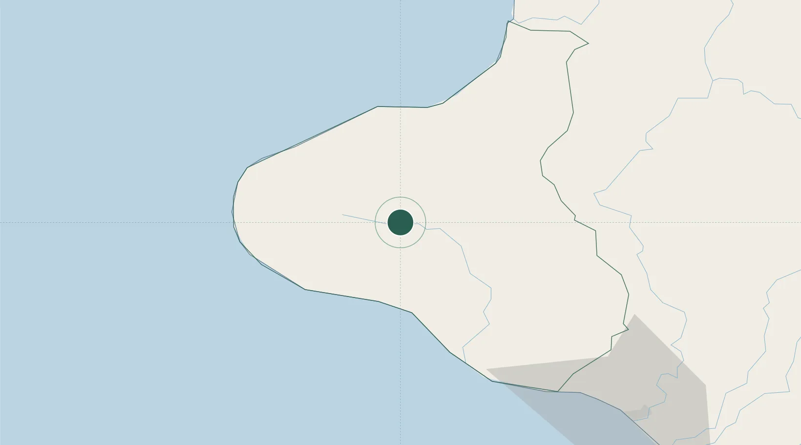
Stratford
-39.3333°, 174.2833°
6,430
Population
2
Transport functions
Transport Functions
Rail
Road
Hub Profile
Place type
Populated place
Region
Taranaki Region
Population
6,430
Time zone
Pacific/Auckland
Elevation
315 m
Location
Nearby Logistics Neighbours
Cities
- 1New Plymouth36 km
- 2Wanganui90 km
- 3Taumarunui97 km
- 4Waiouru120 km
- 5Taharoa137 km
Ports
- 1New Plymouth37 km
- 2Wanganui94 km
- 3Tarakohe206 km
- 4Picton218 km
- 5Wellington221 km
Airports
- 1New Plymouth Airport37 km
- 2Wanganui Airport95 km
- 3RNZAF Base Ohakea135 km
- 4Palmerston North Airport158 km
- 5Taupo Airport169 km
Trade Zones
- 1Hicks Bay Area Special Economic Zone387 km
- 2Rotuma-Kadavu Tax-Free Region2390 km
- 3Kalabu Tax Free Zone2397 km
- 4Nausori-Ba Tax-Free Region2404 km
- 5Latrobe Valley Economic Growth Zone2411 km
DatabookThe Record of Consolidated Knowledge
New Zealand beyond logistics?