Channel & Berth Profile
Pilotage, Tugs & Services
Pilotage availableYES
Pilotage advisableYES
Tug assistanceYES
Potable waterYES
MedicalYES
Garbage disposalYES
Facilities & Capabilities
Container—
Ro-Ro—
Liquid bulk—
Dry bulk—
Oil terminal—
Break bulk—
Dry dock—
RepairsNO
BunkeringYES
Rail link—
Dangerous cargo—
ISPS security—
Harbour Specifications
Harbour size
Very Small
Harbour type
Coastal (Natural)
Shelter
Fair
Water body
Tasman Sea; South Pacific Ocean
Tidal range
5 m
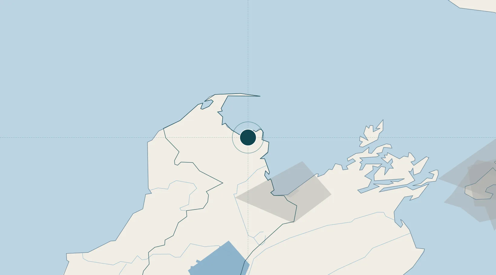
Location
Nearby Logistics Neighbours
Ports
- 1Nelson56 km
- 2Picton105 km
- 3Westport148 km
- 4Wellington165 km
- 5Wanganui207 km
Cities
- 1Port Nelson56 km
- 2Nelson56 km
- 3Picton104 km
- 4Whekenui123 km
- 5Westport148 km
Airports
- 1Nelson Airport57 km
- 2Picton Aerodrome104 km
- 3Woodbourne Airport110 km
- 4Westport Airport148 km
- 5Wellington International Airport168 km
Trade Zones
- 1Hicks Bay Area Special Economic Zone578 km
- 2Latrobe Valley Economic Growth Zone2283 km
- 3Rotuma-Kadavu Tax-Free Region2580 km
- 4Kalabu Tax Free Zone2586 km
- 5Nausori-Ba Tax-Free Region2594 km
DatabookThe Record of Consolidated Knowledge
New Zealand beyond logistics?