Transport Functions
Rail
Road
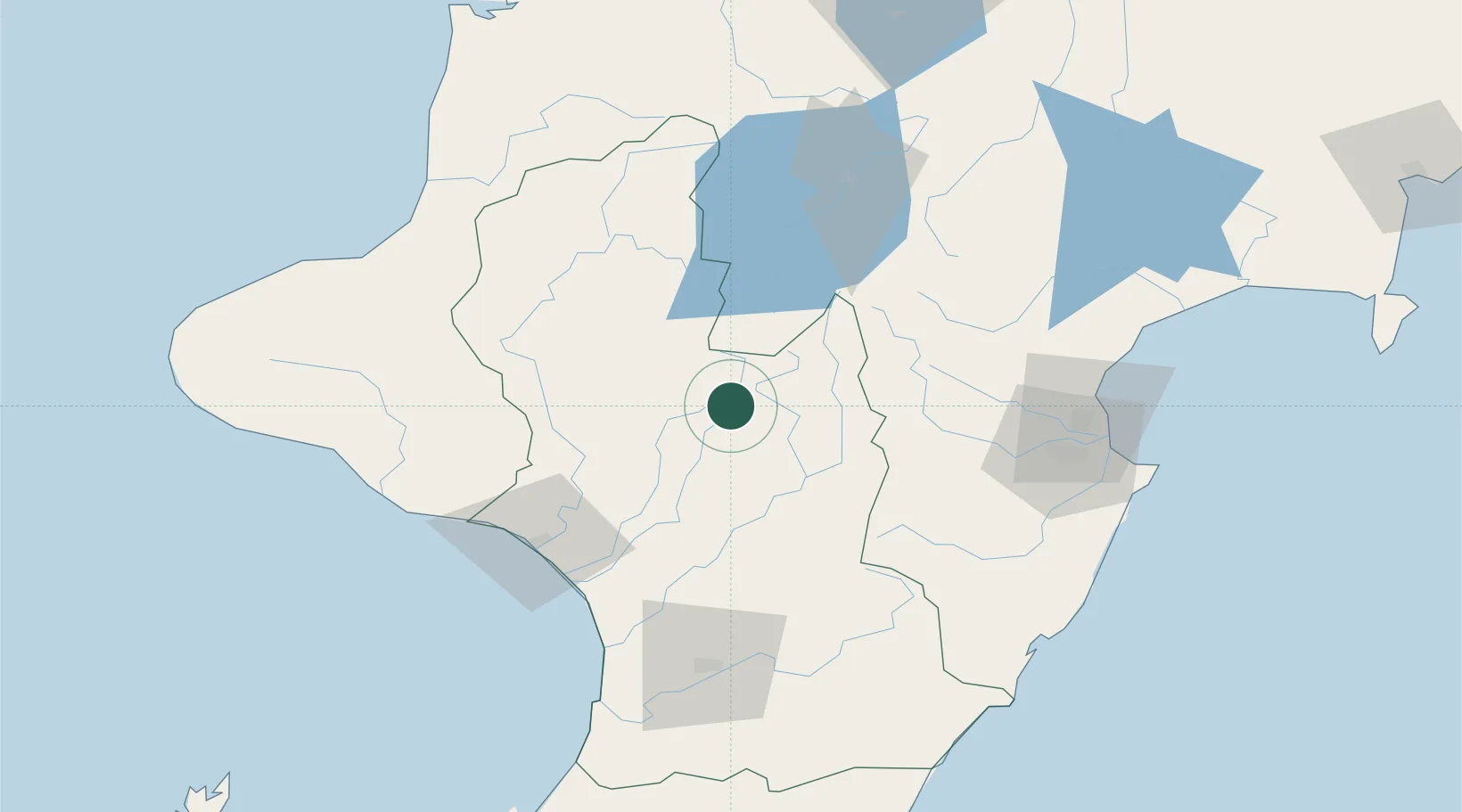
Hub Profile
Place type
Populated place
Region
Manawatu-Wanganui
Population
765
Time zone
Pacific/Auckland
Elevation
819 m
Location
Nearby Logistics Neighbours
Cities
- 1Taumarunui74 km
- 2Wanganui78 km
- 3Dannevirke89 km
- 4Longburn102 km
- 5Napier106 km
Ports
- 1Wanganui76 km
- 2Napier107 km
- 3New Plymouth148 km
- 4Tauranga208 km
- 5Wellington215 km
Airports
- 1Wanganui Airport78 km
- 2RNZAF Base Ohakea86 km
- 3Taupo Airport89 km
- 4Palmerston North Airport95 km
- 5Hawke's Bay Airport103 km
Trade Zones
- 1Hicks Bay Area Special Economic Zone299 km
- 2Rotuma-Kadavu Tax-Free Region2386 km
- 3Kalabu Tax Free Zone2392 km
- 4Nausori-Ba Tax-Free Region2400 km
- 5Lautoka Special Zone2435 km
DatabookThe Record of Consolidated Knowledge
New Zealand beyond logistics?