Seaport · New Zealand
WellingtonNZWLG
-41.2833°, 174.7833°
9.4 m
Channel depth
1
Container terminals
73.6
Port liner connectivity
Channel & Berth Profile
Pilotage, Tugs & Services
Pilotage compulsoryYES
Pilotage availableYES
Pilotage advisableYES
Tug assistanceYES
Potable waterYES
Diesel bunkersYES
MedicalYES
Garbage disposalYES
Facilities & Capabilities
Container—
Ro-Ro—
Liquid bulk—
Dry bulk—
Oil terminal—
Break bulk—
Dry dock—
RepairsNO
BunkeringYES
Rail linkYES
Dangerous cargo—
ISPS security—
Harbour Specifications
Harbour size
Large
Harbour type
Coastal (Natural)
Shelter
Excellent
Water body
Cook Strait; South Pacific Ocean
Tidal range
3 m
Pilotage
Yes
Liner Connectivity
73.6
PLSCI
Port Liner Shipping Connectivity Index for Wellington, as published by UNCTAD for the latest available quarter. Higher values indicate stronger scheduled liner-shipping integration.
Shown relative to the highest per-port PLSCI in the dataset (1,657.9).
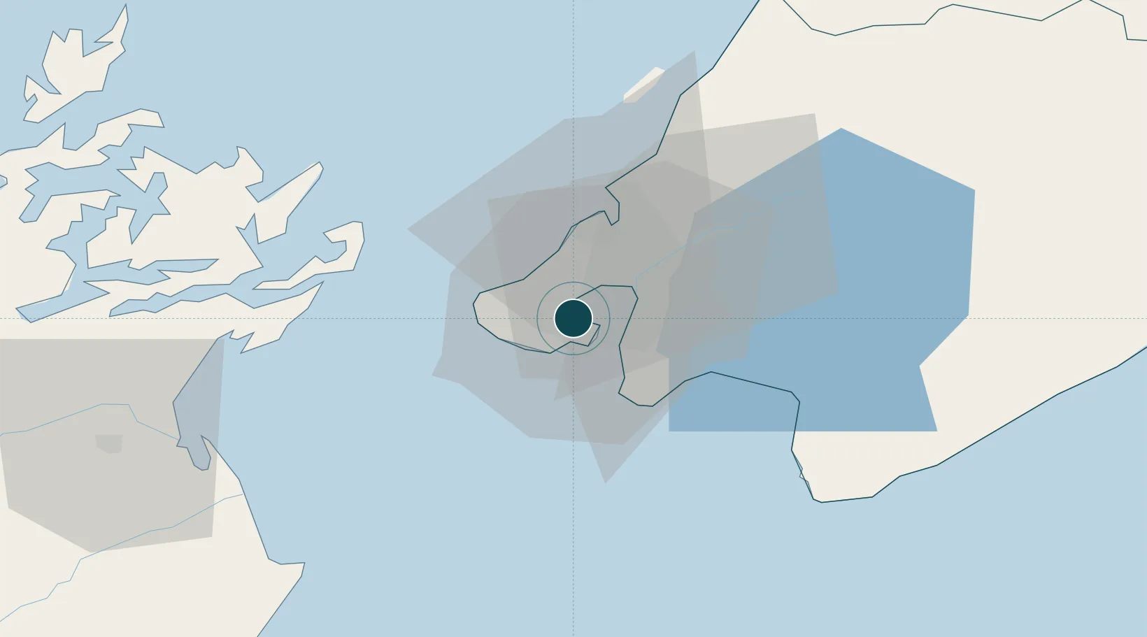
Location
Container Terminals · 1
CENTREPORT WELLINGTON
CPW
Nearby Logistics Neighbours
Ports
- 1Picton64 km
- 2Nelson127 km
- 3Wanganui150 km
- 4Tarakohe165 km
- 5New Plymouth255 km
Cities
- 1Burnham Wharf2 km
- 2Pipitea2 km
- 3Shelly Bay3 km
- 4Trentham27 km
- 5Paekakariki38 km
Airports
- 1Wellington International Airport5 km
- 2Paraparaumu Airport46 km
- 3Otaki Airport63 km
- 4Picton Aerodrome69 km
- 5Hood Airport79 km
Trade Zones
- 1Hicks Bay Area Special Economic Zone501 km
- 2Latrobe Valley Economic Growth Zone2440 km
- 3Rotuma-Kadavu Tax-Free Region2596 km
- 4Kalabu Tax Free Zone2603 km
- 5Nausori-Ba Tax-Free Region2611 km
DatabookThe Record of Consolidated Knowledge
New Zealand beyond logistics?