Transport Functions
Port
Road
Airport
Hub Profile
Region
MWT
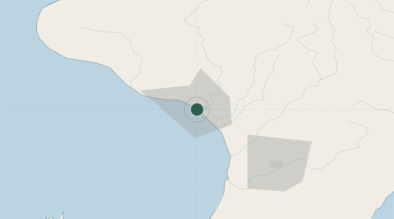
Location
Nearby Logistics Neighbours
Cities
- 1Longburn69 km
- 2Shannon76 km
- 3Waiouru78 km
- 4Stratford90 km
- 5Dannevirke98 km
Ports
- 1New Plymouth126 km
- 2Wellington151 km
- 3Picton171 km
- 4Napier173 km
- 5Tarakohe204 km
Airports
- 1Wanganui Airport5 km
- 2RNZAF Base Ohakea46 km
- 3Palmerston North Airport69 km
- 4Otaki Airport96 km
- 5Paraparaumu Airport108 km
Trade Zones
- 1Hicks Bay Area Special Economic Zone377 km
- 2Rotuma-Kadavu Tax-Free Region2446 km
- 3Kalabu Tax Free Zone2452 km
- 4Nausori-Ba Tax-Free Region2460 km
- 5Latrobe Valley Economic Growth Zone2465 km
DatabookThe Record of Consolidated Knowledge
New Zealand beyond logistics?