Transport Functions
Rail
Road
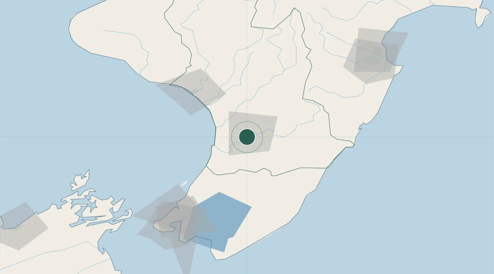
Hub Profile
Place type
Populated place
Region
Manawatu-Wanganui
Population
354
Time zone
Pacific/Auckland
Elevation
23 m
Location
Nearby Logistics Neighbours
Cities
- 1Shannon20 km
- 2Dannevirke50 km
- 3Wanganui69 km
- 4Paekakariki82 km
- 5Trentham94 km
Ports
- 1Wanganui65 km
- 2Wellington119 km
- 3Napier154 km
- 4Picton163 km
- 5New Plymouth196 km
Airports
- 1Palmerston North Airport9 km
- 2RNZAF Base Ohakea24 km
- 3Otaki Airport56 km
- 4Wanganui Airport65 km
- 5Hood Airport66 km
Trade Zones
- 1Hicks Bay Area Special Economic Zone382 km
- 2Rotuma-Kadavu Tax-Free Region2488 km
- 3Kalabu Tax Free Zone2495 km
- 4Nausori-Ba Tax-Free Region2502 km
- 5Latrobe Valley Economic Growth Zone2509 km
DatabookThe Record of Consolidated Knowledge
New Zealand beyond logistics?