Seaport · New Zealand
New PlymouthNZNPL
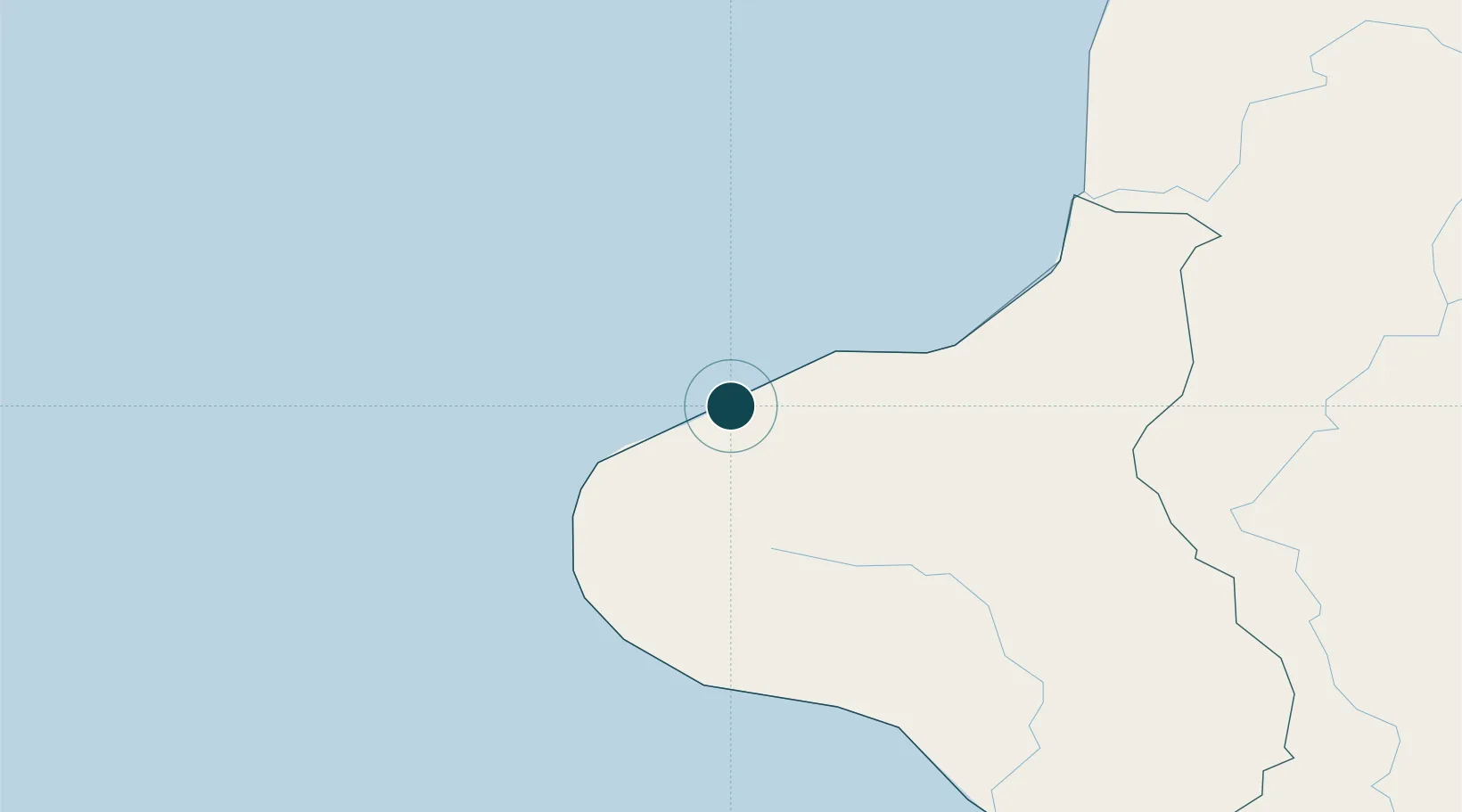
-39.0667°, 174.0333°
9.4 m
Channel depth
1
Container terminals
10.1
Port liner connectivity
Channel & Berth Profile
Pilotage, Tugs & Services
Pilotage compulsoryYES
Pilotage availableYES
Tug assistanceYES
Salvage tugsYES
Shore powerYES
Potable waterYES
Diesel bunkersYES
MedicalYES
Garbage disposalYES
Facilities & Capabilities
Container—
Ro-Ro—
Liquid bulk—
Dry bulk—
Oil terminal—
Break bulk—
Dry dockNO
RepairsNO
BunkeringYES
Rail linkYES
Dangerous cargo—
ISPS security—
Harbour Specifications
Harbour size
Small
Harbour type
Coastal (Breakwater)
Shelter
Fair
Water body
Tasman Sea; South Pacific Ocean
Tidal range
10 m
Overhead limit
Yes
Pilotage
Yes
Liner Connectivity
10.1
PLSCI
Port Liner Shipping Connectivity Index for New Plymouth, as published by UNCTAD for the latest available quarter. Higher values indicate stronger scheduled liner-shipping integration.
Shown relative to the highest per-port PLSCI in the dataset (1,657.9).
Location
Container Terminals · 1
PORT TARANAKI
PTAR PORT TARANAKI LTD.
Nearby Logistics Neighbours
Ports
- 1Wanganui130 km
- 2Tarakohe221 km
- 3Tauranga245 km
- 4Manukau Harbor246 km
- 5Picton247 km
Cities
- 1Stratford37 km
- 2Taumarunui107 km
- 3Taharoa119 km
- 4Wanganui126 km
- 5Waiouru148 km
Airports
- 1New Plymouth Airport14 km
- 2Wanganui Airport131 km
- 3RNZAF Base Ohakea172 km
- 4Hamilton International Airport175 km
- 5Taupo Airport181 km
Trade Zones
- 1Hicks Bay Area Special Economic Zone393 km
- 2Rotuma-Kadavu Tax-Free Region2365 km
- 3Kalabu Tax Free Zone2372 km
- 4Nausori-Ba Tax-Free Region2379 km
- 5Latrobe Valley Economic Growth Zone2393 km
DatabookThe Record of Consolidated Knowledge
New Zealand beyond logistics?