UN/LOCODE hub · New Zealand
NZDAN
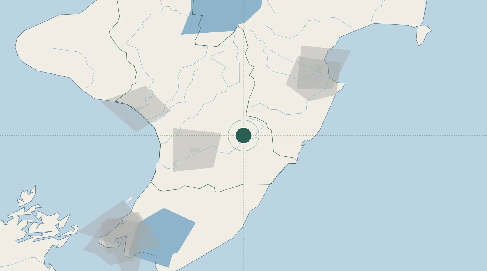
Dannevirke
-40.2000°, 176.0833°
5,680
Population
2
Transport functions
Transport Functions
Rail
Road
Hub Profile
Place type
Populated place
Region
Manawatu-Wanganui
Population
5,680
Time zone
Pacific/Auckland
Elevation
212 m
Location
Nearby Logistics Neighbours
Ports
- 1Wanganui94 km
- 2Napier107 km
- 3Wellington163 km
- 4Picton212 km
- 5New Plymouth216 km
Airports
- 1Palmerston North Airport42 km
- 2RNZAF Base Ohakea59 km
- 3Wanganui Airport94 km
- 4Hood Airport94 km
- 5Otaki Airport102 km
Trade Zones
- 1Hicks Bay Area Special Economic Zone339 km
- 2Rotuma-Kadavu Tax-Free Region2463 km
- 3Kalabu Tax Free Zone2469 km
- 4Nausori-Ba Tax-Free Region2477 km
- 5Lautoka Special Zone2514 km
DatabookThe Record of Consolidated Knowledge
New Zealand beyond logistics?