Medium airport · New Zealand
RNZAF Base OhakeaNZOH
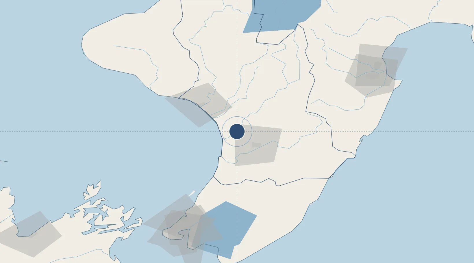
-40.2060°, 175.3880°
8,028 ft
Longest runway
3
Runways
164 ft
Elevation
Runway & Layout

Radio Frequencies
ATIS
28.04 MHz
TWR
134.5 MHz
GND
122.1 MHz
APP
125.1 MHz
CTAF
134.5 MHz
Navaids
OH VORTAC Ohakea 109.00 MHz
OH NDB Ohakea 218 kHz
Runways · 3
| Runway | Dimensions | Surface | True heading | Lit |
|---|---|---|---|---|
| 09/27 | 8,028 × 148ft | Asphalt | 109° | ✓ |
| 15/33 | 6,998 × 148ft | Asphalt | 168° | ✓ |
| 09L/27R | 1,887 × 89ft | Grass | 109° | — |
Airport Specifications
IATA code
OHA
ICAO code
NZOH
Airport class
Medium airport
Scheduled service
No
Runway surface
Asphalt
Location
Nearby Logistics Neighbours
Airports
- 1Palmerston North Airport23 km
- 2Wanganui Airport41 km
- 3Otaki Airport68 km
- 4Paraparaumu Airport85 km
- 5Hood Airport88 km
Cities
- 1Longburn24 km
- 2Shannon37 km
- 3Wanganui46 km
- 4Dannevirke59 km
- 5Waiouru86 km
Ports
- 1Wanganui42 km
- 2Wellington130 km
- 3Napier153 km
- 4Picton166 km
- 5New Plymouth172 km
Trade Zones
- 1Hicks Bay Area Special Economic Zone375 km
- 2Rotuma-Kadavu Tax-Free Region2471 km
- 3Kalabu Tax Free Zone2477 km
- 4Nausori-Ba Tax-Free Region2485 km
- 5Latrobe Valley Economic Growth Zone2497 km
DatabookThe Record of Consolidated Knowledge
New Zealand beyond logistics?