Medium airport · New Zealand
Wanganui AirportNZWU
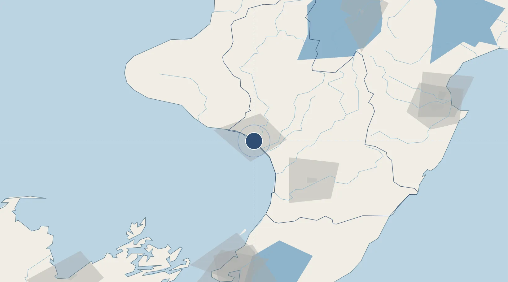
-39.9635°, 175.0244°
4,521 ft
Longest runway
6
Runways
27 ft
Elevation
Runway & Layout

Radio Frequencies
CTAF
120.2 MHz
AFIS
120.4 MHz
OHAKEA CON
Navaids
WU NDB-DME Wanganui 0.38 MHz
Runways · 6
| Runway | Dimensions | Surface | True heading | Lit |
|---|---|---|---|---|
| 11C/29C | 4,521 × 148ft | Asphalt | 131° | ✓ |
| 14/32 | 2,959 × 197ft | Graded earth | 161° | — |
| 08/26 | 2,877 × 197ft | Graded earth | 106° | — |
| 11R/29L | 2,756 × 279ft | Graded earth | 128° | — |
| 11L/29R | 1,654 × 1ft | Graded earth | 128° | — |
| 11/29 | — | Unknown | — | — |
Airport Specifications
IATA code
WAG
ICAO code
NZWU
Airport class
Medium airport
Scheduled service
Yes
Runway surface
Asphalt
Served city
Wanganui
Location
Nearby Logistics Neighbours
Airports
- 1RNZAF Base Ohakea41 km
- 2Palmerston North Airport64 km
- 3Otaki Airport92 km
- 4Paraparaumu Airport105 km
- 5Hood Airport124 km
Cities
- 1Wanganui5 km
- 2Longburn65 km
- 3Shannon72 km
- 4Waiouru78 km
- 5Dannevirke94 km
Ports
- 1Wanganui2 km
- 2New Plymouth131 km
- 3Wellington148 km
- 4Picton170 km
- 5Napier170 km
Trade Zones
- 1Hicks Bay Area Special Economic Zone377 km
- 2Rotuma-Kadavu Tax-Free Region2448 km
- 3Kalabu Tax Free Zone2455 km
- 4Nausori-Ba Tax-Free Region2462 km
- 5Latrobe Valley Economic Growth Zone2468 km
DatabookThe Record of Consolidated Knowledge
New Zealand beyond logistics?