Seaport · New Zealand
TaurangaNZTRG
-37.6333°, 176.1667°
14.0 m
Channel depth
2
Container terminals
170.3
Port liner connectivity
Channel & Berth Profile
Pilotage, Tugs & Services
Pilotage compulsoryYES
Pilotage availableYES
Tug assistanceYES
Shore powerYES
Potable waterYES
Diesel bunkersYES
MedicalYES
Garbage disposalYES
Facilities & Capabilities
Container—
Ro-Ro—
Liquid bulk—
Dry bulk—
Oil terminal—
Break bulk—
Dry dock—
RepairsNO
BunkeringYES
Rail linkYES
Dangerous cargo—
ISPS security—
Harbour Specifications
Harbour size
Small
Harbour type
Coastal (Natural)
Shelter
Excellent
Water body
South Pacific Ocean
Tidal range
2 m
Overhead limit
No
Pilotage
Yes
Liner Connectivity
170.3
PLSCI
Port Liner Shipping Connectivity Index for Tauranga, as published by UNCTAD for the latest available quarter. Higher values indicate stronger scheduled liner-shipping integration.
Shown relative to the highest per-port PLSCI in the dataset (1,657.9).
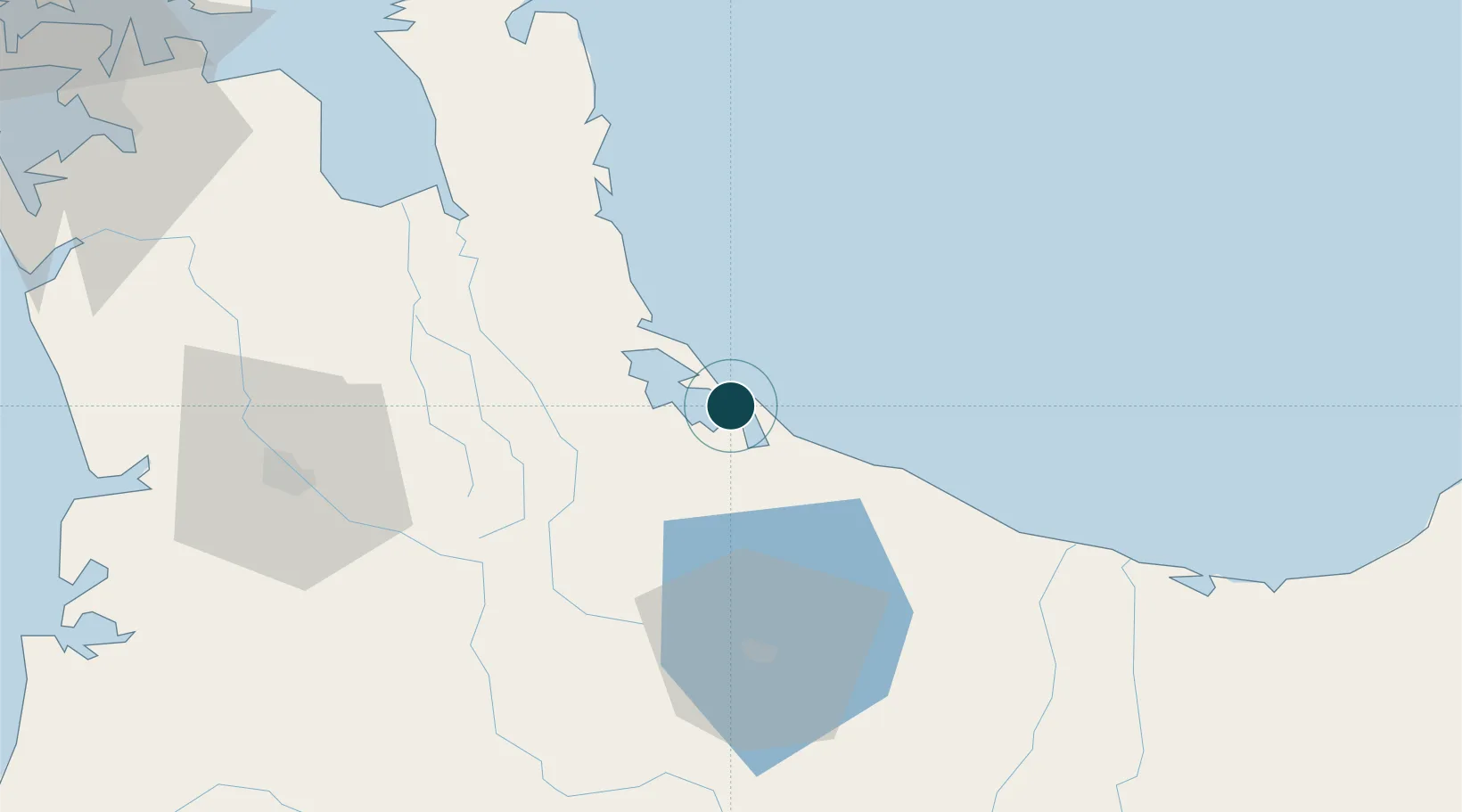
Location
Container Terminals · 2
MOUNT MAUNGANUI PORT
MMP PORT OF TAURANGA LTD.
TAURANGA CONTAINER TERMINAL (SULPHUR POINT)
TRGCT PORT OF TAURANGA LTD.
Nearby Logistics Neighbours
Ports
- 1Manukau Harbor145 km
- 2Auckland152 km
- 3Gisborne200 km
- 4Napier216 km
- 5New Plymouth245 km
Cities
- 1Paeroa52 km
- 2Morrinsville56 km
- 3Hamilton83 km
- 4White Island90 km
- 5Opotiki110 km
Airports
- 1Tauranga Airport5 km
- 2Rotorua Regional Airport55 km
- 3Whakatāne Airport73 km
- 4Hamilton International Airport78 km
- 5Taupo Airport123 km
Trade Zones
- 1Hicks Bay Area Special Economic Zone174 km
- 2Rotuma-Kadavu Tax-Free Region2178 km
- 3Kalabu Tax Free Zone2185 km
- 4Nausori-Ba Tax-Free Region2192 km
- 5Lautoka Special Zone2229 km
DatabookThe Record of Consolidated Knowledge
New Zealand beyond logistics?