Seaport · New Zealand
AucklandNZAKL
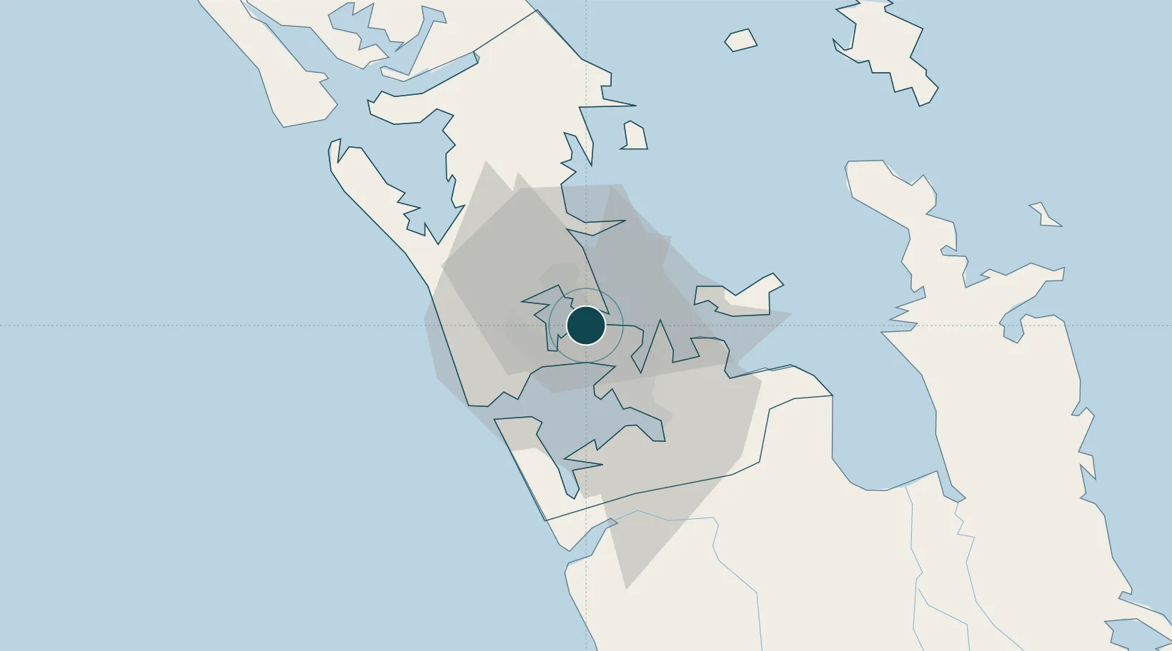
-36.8500°, 174.7667°
9.4 m
Channel depth
3
Container terminals
179.4
Port liner connectivity
Channel & Berth Profile
Pilotage, Tugs & Services
Pilotage compulsoryYES
Pilotage availableYES
Pilotage advisableYES
Tug assistanceYES
Shore powerYES
Potable waterYES
Diesel bunkersYES
MedicalYES
Garbage disposalYES
Facilities & Capabilities
Container—
Ro-Ro—
Liquid bulk—
Dry bulk—
Oil terminal—
Break bulk—
Dry dockNO
RepairsNO
BunkeringYES
Rail linkYES
Dangerous cargo—
ISPS security—
Harbour Specifications
Harbour size
Large
Harbour type
River (Natural)
Shelter
Excellent
Water body
South Pacific Ocean
Tidal range
2 m
Overhead limit
No
Pilotage
Yes
Liner Connectivity
179.4
PLSCI
Port Liner Shipping Connectivity Index for Auckland, as published by UNCTAD for the latest available quarter. Higher values indicate stronger scheduled liner-shipping integration.
Shown relative to the highest per-port PLSCI in the dataset (1,657.9).
Location
Container Terminals · 3
PORTS OF AUCKLAND BLEDISLOE WHARF
PABW PORTS OF AUCKLAND LIMITED
PORTS OF AUCKLAND FERGUSSON WHARF
PAFW PORTS OF AUCKLAND LIMITED
PORTS OF AUCKLAND GENERAL WHARF
PAGW PORTS OF AUCKLAND LIMITED
Nearby Logistics Neighbours
Ports
- 1Manukau Harbor9 km
- 2Whangarei121 km
- 3Tauranga152 km
- 4Opua180 km
- 5Whangaroa220 km
Airports
- 1RNZAF Base Auckland-Whenuapai14 km
- 2Auckland International Airport18 km
- 3Ardmore Airport27 km
- 4Great Barrier Aerodrome93 km
- 5Okiwi Station Airport98 km
Trade Zones
- 1Hicks Bay Area Special Economic Zone310 km
- 2Rotuma-Kadavu Tax-Free Region2111 km
- 3Kalabu Tax Free Zone2117 km
- 4Nausori-Ba Tax-Free Region2125 km
- 5Lautoka Special Zone2154 km
DatabookThe Record of Consolidated Knowledge
New Zealand beyond logistics?