UN/LOCODE hub · New Zealand
NZMOR
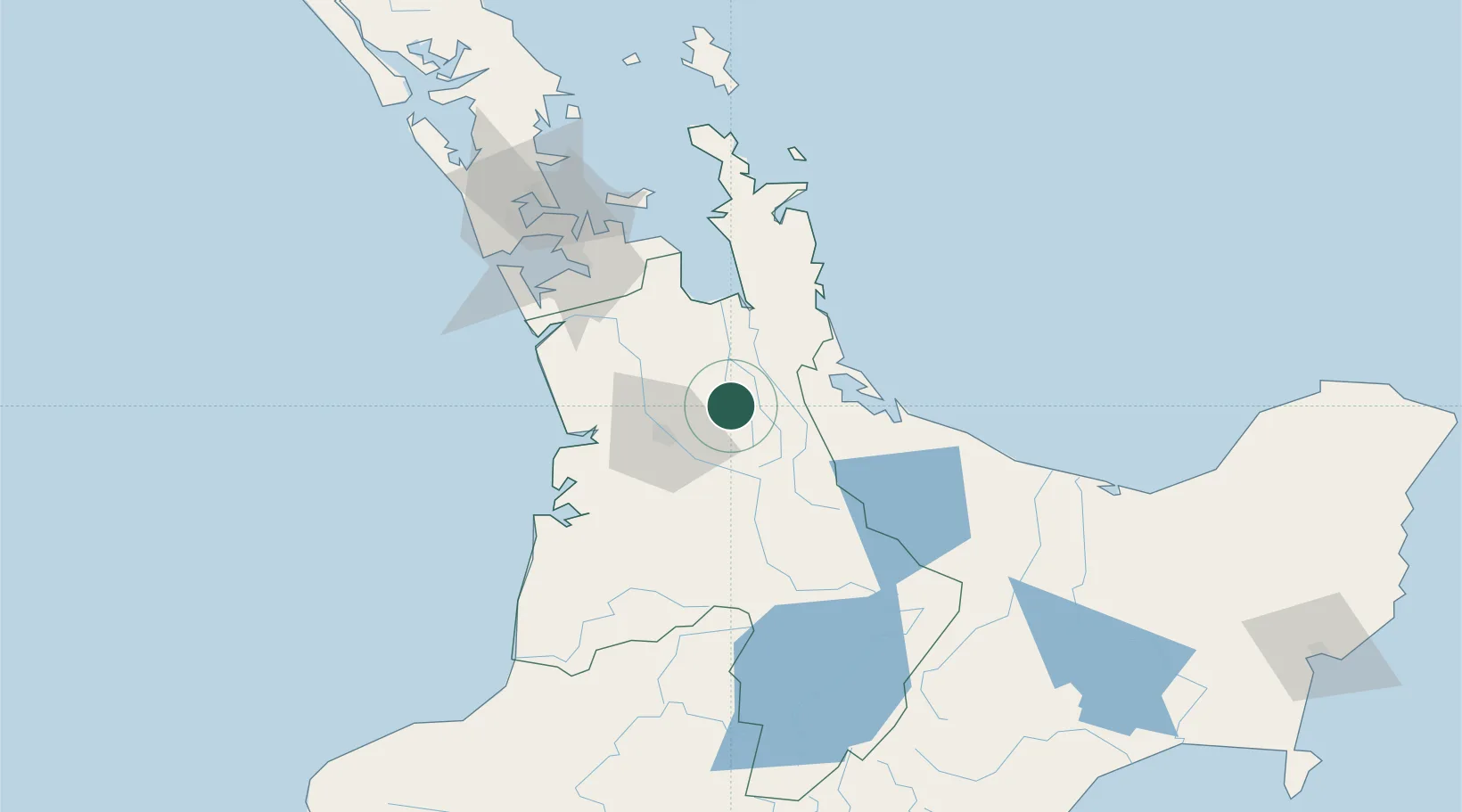
Morrinsville
-37.6500°, 175.5333°
9,710
Population
2
Transport functions
Transport Functions
Rail
Road
Hub Profile
Place type
Populated place
Region
Waikato Region
Population
9,710
Time zone
Pacific/Auckland
Elevation
44 m
Location
Nearby Logistics Neighbours
Ports
- 1Tauranga56 km
- 2Manukau Harbor104 km
- 3Auckland112 km
- 4New Plymouth205 km
- 5Whangarei228 km
Airports
- 1Hamilton International Airport30 km
- 2Tauranga Airport58 km
- 3Ardmore Airport85 km
- 4Rotorua Regional Airport86 km
- 5Auckland International Airport97 km
Trade Zones
- 1Hicks Bay Area Special Economic Zone229 km
- 2Rotuma-Kadavu Tax-Free Region2187 km
- 3Kalabu Tax Free Zone2194 km
- 4Nausori-Ba Tax-Free Region2201 km
- 5Lautoka Special Zone2235 km
DatabookThe Record of Consolidated Knowledge
New Zealand beyond logistics?