Medium airport · New Zealand
Taupo AirportNZAP
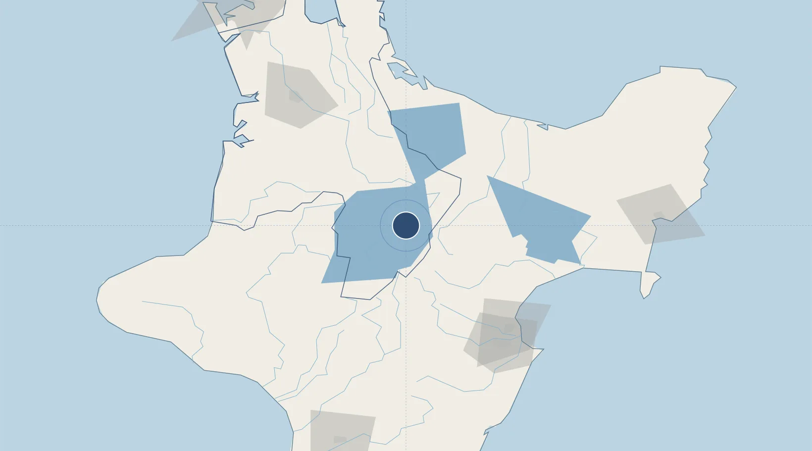
-38.7397°, 176.0840°
4,547 ft
Longest runway
2
Runways
1,335 ft
Elevation
Runway & Layout

Radio Frequencies
CTAF
118.4 MHz
AFIS
123.6 MHz
CHRISTCHURCH FIS
AWIB
125.2 MHz
UNIC
118.4 MHz
UNICOM
Navaids
AP NDB-DME Taupo 0.23 MHz
Runways · 2
| Runway | Dimensions | Surface | True heading | Lit |
|---|---|---|---|---|
| 17/35 | 4,547 × 98ft | Asphalt | 196° | ✓ |
| 10/28 | 2,198 × 105ft | Grass | 131° | — |
Airport Specifications
IATA code
TUO
ICAO code
NZAP
Airport class
Medium airport
Scheduled service
Yes
Runway surface
Asphalt
Served city
Taupo
Location
Nearby Logistics Neighbours
Airports
- 1Rotorua Regional Airport73 km
- 2Hawke's Bay Airport105 km
- 3Whakatāne Airport116 km
- 4Hamilton International Airport117 km
- 5Wairoa Airport118 km
Cities
- 1Taumarunui74 km
- 2Waiouru89 km
- 3Seaview108 km
- 4Napier109 km
- 5Tauranga117 km
Ports
- 1Napier110 km
- 2Tauranga123 km
- 3Wanganui162 km
- 4Gisborne169 km
- 5New Plymouth181 km
Trade Zones
- 1Hicks Bay Area Special Economic Zone220 km
- 2Rotuma-Kadavu Tax-Free Region2302 km
- 3Kalabu Tax Free Zone2308 km
- 4Nausori-Ba Tax-Free Region2315 km
- 5Lautoka Special Zone2352 km
DatabookThe Record of Consolidated Knowledge
New Zealand beyond logistics?