Medium airport · New Zealand
Tauranga AirportNZTG
-37.6719°, 176.1960°
5,988 ft
Longest runway
5
Runways
13 ft
Elevation
Runway & Layout

Radio Frequencies
ATIS
126.6 MHz
TWR
118.3 MHz
APP
119.5 MHz
CHRISTCHURCH APP
CTAF
118.3 MHz
Navaids
TG NDB-DME Tauranga 0.35 MHz
Runways · 5
| Runway | Dimensions | Surface | True heading | Lit |
|---|---|---|---|---|
| 07R/25L | 5,988 × 148ft | Asphalt | 096° | ✓ |
| 07L/25R | 2,460 × 180ft | Grass | 094° | — |
| 04/22 | 2,100 × 197ft | Graded earth | 052° | — |
| 16/34 | 1,886 × 148ft | Graded earth | 184° | — |
| 07/25 | — | Unknown | — | — |
Airport Specifications
IATA code
TRG
ICAO code
NZTG
Airport class
Medium airport
Scheduled service
Yes
Runway surface
Asphalt
Served city
Tauranga
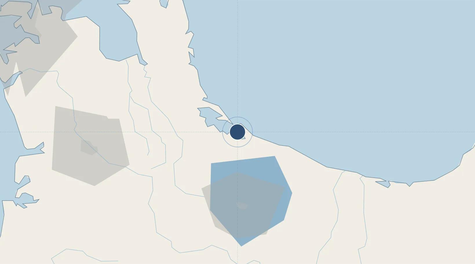
Location
Nearby Logistics Neighbours
Airports
- 1Rotorua Regional Airport50 km
- 2Whakatāne Airport69 km
- 3Hamilton International Airport79 km
- 4Taupo Airport119 km
- 5Ardmore Airport130 km
Cities
- 1Tauranga7 km
- 2Paeroa57 km
- 3Morrinsville58 km
- 4Hamilton85 km
- 5White Island88 km
Ports
- 1Tauranga5 km
- 2Manukau Harbor150 km
- 3Auckland156 km
- 4Gisborne195 km
- 5Napier211 km
Trade Zones
- 1Hicks Bay Area Special Economic Zone171 km
- 2Rotuma-Kadavu Tax-Free Region2182 km
- 3Kalabu Tax Free Zone2189 km
- 4Nausori-Ba Tax-Free Region2196 km
- 5Lautoka Special Zone2233 km
DatabookThe Record of Consolidated Knowledge
New Zealand beyond logistics?