Transport Functions
Multimodal
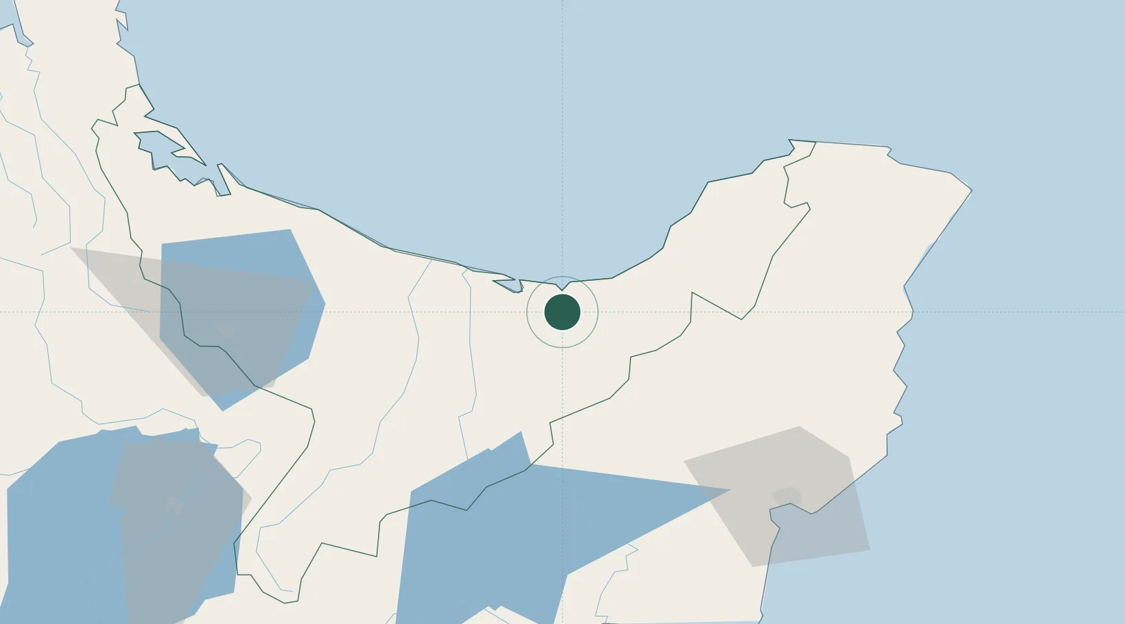
Hub Profile
Place type
Provincial seat
Region
Bay of Plenty
Population
4,880
Time zone
Pacific/Auckland
Elevation
7 m
Location
Nearby Logistics Neighbours
Cities
- 1White Island62 km
- 2Gisborne91 km
- 3Tauranga112 km
- 4Seaview157 km
- 5Napier160 km
Ports
- 1Gisborne92 km
- 2Tauranga110 km
- 3Napier159 km
- 4Manukau Harbor255 km
- 5Auckland261 km
Airports
- 1Whakatāne Airport37 km
- 2Rotorua Regional Airport85 km
- 3Gisborne Airport89 km
- 4Wairoa Airport104 km
- 5Tauranga Airport106 km
Trade Zones
- 1Hicks Bay Area Special Economic Zone92 km
- 2Rotuma-Kadavu Tax-Free Region2220 km
- 3Kalabu Tax Free Zone2226 km
- 4Nausori-Ba Tax-Free Region2234 km
- 5Lautoka Special Zone2275 km
DatabookThe Record of Consolidated Knowledge
New Zealand beyond logistics?