Transport Functions
Rail
Road
Hub Profile
Place type
Populated place
Region
Waikato Region
Population
3,994
Time zone
Pacific/Auckland
Elevation
9 m
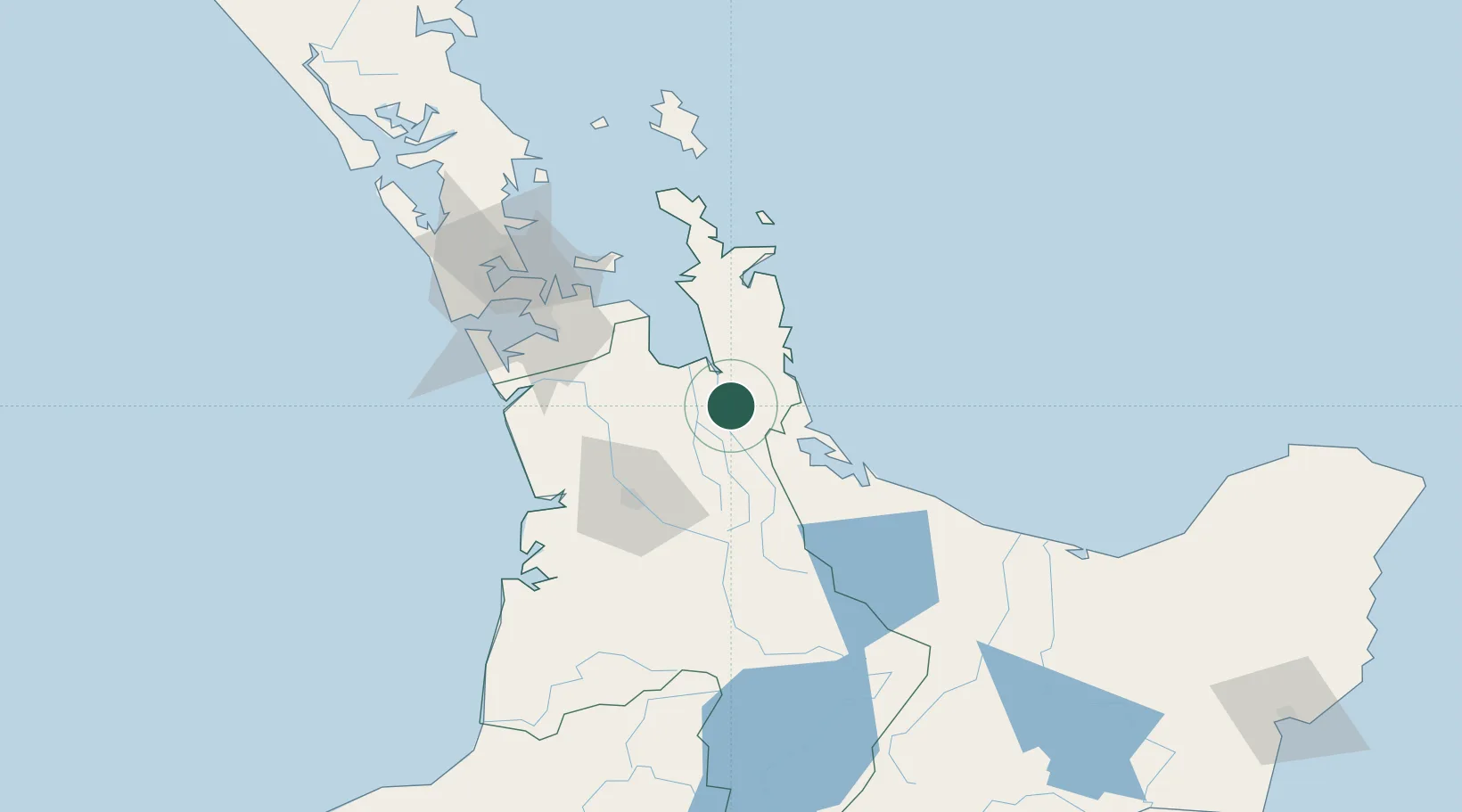
Location
Nearby Logistics Neighbours
Cities
- 1Morrinsville32 km
- 2Tauranga52 km
- 3Hamilton57 km
- 4Drury71 km
- 5Papakura72 km
Ports
- 1Tauranga52 km
- 2Manukau Harbor93 km
- 3Auckland99 km
- 4Whangarei208 km
- 5New Plymouth235 km
Airports
- 1Tauranga Airport57 km
- 2Hamilton International Airport61 km
- 3Ardmore Airport73 km
- 4Auckland International Airport88 km
- 5Rotorua Regional Airport99 km
Trade Zones
- 1Hicks Bay Area Special Economic Zone219 km
- 2Rotuma-Kadavu Tax-Free Region2156 km
- 3Kalabu Tax Free Zone2163 km
- 4Nausori-Ba Tax-Free Region2170 km
- 5Lautoka Special Zone2204 km
DatabookThe Record of Consolidated Knowledge
New Zealand beyond logistics?