UN/LOCODE hub · New Zealand
NZTRG
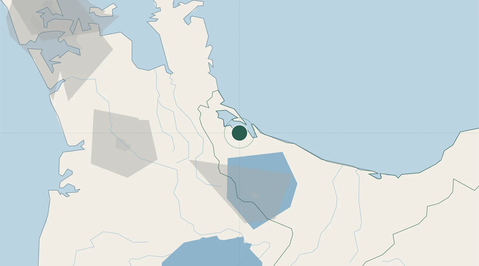
Tauranga
-37.6838°, 176.1159°
155,200
Population
4
Transport functions
2
Container terminals
Transport Functions
Port
Rail
Road
Airport
Hub Profile
Place type
Provincial seat
Region
Bay of Plenty
Population
155,200
Time zone
Pacific/Auckland
Elevation
18 m
Logistics facilities
20
Container terminals
2
Location
Nearby Logistics Neighbours
Cities
- 1Morrinsville51 km
- 2Paeroa52 km
- 3Hamilton77 km
- 4White Island96 km
- 5Opotiki112 km
Ports
- 1Manukau Harbor144 km
- 2Auckland151 km
- 3Gisborne200 km
- 4Napier212 km
- 5New Plymouth238 km
Airports
- 1Tauranga Airport7 km
- 2Rotorua Regional Airport51 km
- 3Hamilton International Airport72 km
- 4Whakatāne Airport75 km
- 5Taupo Airport117 km
Trade Zones
- 1Hicks Bay Area Special Economic Zone178 km
- 2Rotuma-Kadavu Tax-Free Region2185 km
- 3Kalabu Tax Free Zone2191 km
- 4Nausori-Ba Tax-Free Region2198 km
- 5Lautoka Special Zone2235 km
DatabookThe Record of Consolidated Knowledge
New Zealand beyond logistics?