Free Trade Zone · Fiji
Lautoka Special Zone Under Development
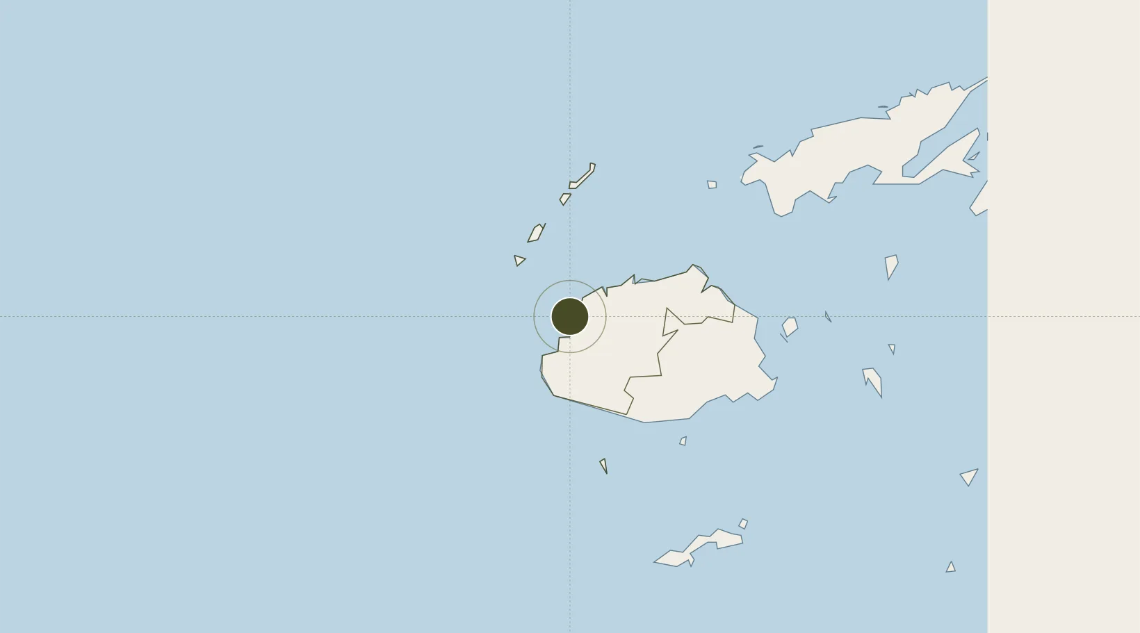
-17.6207°, 177.4359°
20 ha
Zone area
2.7 km
Nearest port
15.7 km
Nearest airport
Gateway access
Zone profile
Zone type
Free Trade Zone
Region
Western
Status
Under Development
Management
Public
Operator
Fiji National Provident Fund
Legal framework
Memorandum of Understanding between Ministry of Industry-Trade-and-Tourism, and Fiji National Provident Fund
Location
Nearby Logistics Neighbours
Ports
- 1Lautoka Harbor3 km
- 2Suva Harbor118 km
- 3Savusavu Bay223 km
- 4Port Vila966 km
- 5Funafuti Atoll1029 km
Airports
- 1Nadi International Airport16 km
- 2Malolo Lailai Island Airport31 km
- 3Mana Island Airport36 km
- 4Yasawa Island Airport97 km
- 5Nausori International Airport128 km
Cities
- 1Lautoka1 km
- 2Vuda7 km
- 3Denarau17 km
- 4Momi37 km
- 5Vatia Wharf43 km
Trade Zones
- 1Rotuma-Kadavu Tax-Free Region119 km
- 2Kalabu Tax Free Zone122 km
- 3Nausori-Ba Tax-Free Region124 km
- 4Vanua Levu Tax-Free Region200 km
- 5Savusavu Industrial Zone222 km
DatabookThe Record of Consolidated Knowledge
Fiji beyond logistics?