Transport Functions
Multimodal
Hub Profile
Region
BOP
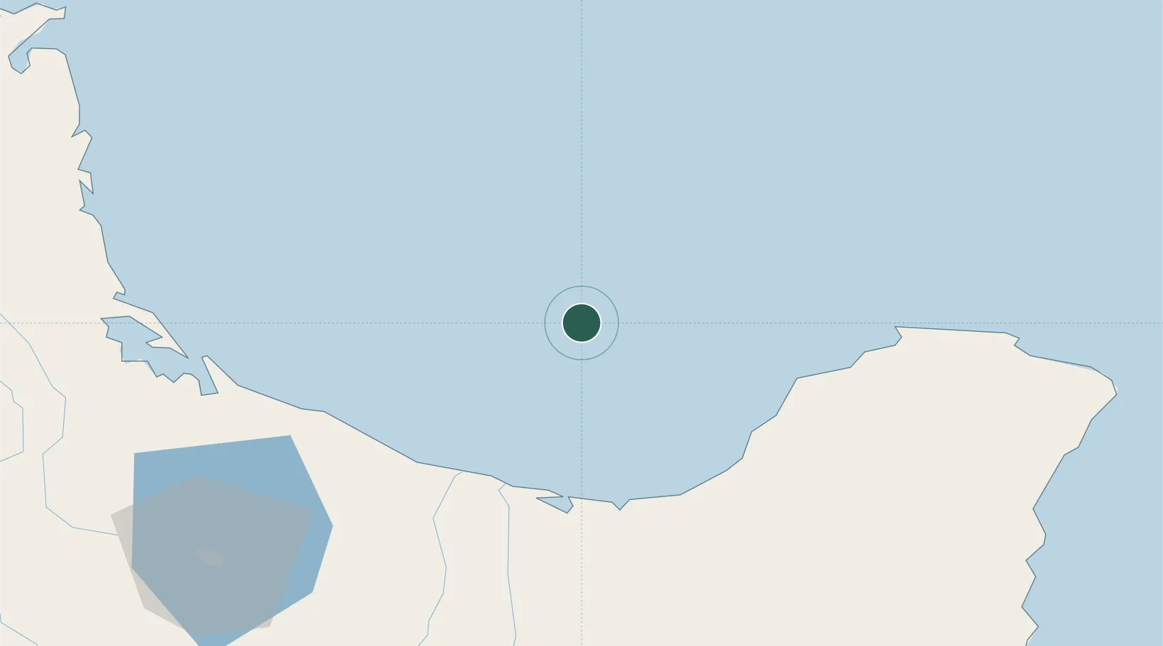
Location
Nearby Logistics Neighbours
Cities
- 1Opotiki62 km
- 2Tauranga96 km
- 3Paeroa135 km
- 4Morrinsville146 km
- 5Gisborne146 km
Ports
- 1Tauranga90 km
- 2Gisborne146 km
- 3Napier218 km
- 4Manukau Harbor223 km
- 5Auckland227 km
Airports
- 1Whakatāne Airport49 km
- 2Tauranga Airport88 km
- 3Rotorua Regional Airport100 km
- 4Gisborne Airport144 km
- 5Taupo Airport165 km
Trade Zones
- 1Hicks Bay Area Special Economic Zone84 km
- 2Rotuma-Kadavu Tax-Free Region2160 km
- 3Kalabu Tax Free Zone2166 km
- 4Nausori-Ba Tax-Free Region2173 km
- 5Lautoka Special Zone2214 km
DatabookThe Record of Consolidated Knowledge
New Zealand beyond logistics?