Medium airport · New Zealand
Hamilton International AirportNZHN
-37.8670°, 175.3320°
6,755 ft
Longest runway
5
Runways
172 ft
Elevation
Runway & Layout

Radio Frequencies
ATIS
128.6 MHz
TWR
122.9 MHz
APP
125.3 MHz
CHRISTCHURCH APP
CTAF
122.9 MHz
Navaids
HN VOR-DME Hamilton 114.00 MHz
HN NDB Hamilton 390 kHz
Runways · 5
| Runway | Dimensions | Surface | True heading | Lit |
|---|---|---|---|---|
| 18L/36R | 6,755 × 148ft | Asphalt | 196° | ✓ |
| 18R/36L | 2,871 × 197ft | Asphalt | 196° | — |
| 07/25 | 2,033 × 98ft | Grass | 095° | — |
| 07R/25L | 2,033 × 197ft | Delete duplicate | 095° | — |
| 18/36 | — | Delete | — | — |
Airport Specifications
IATA code
HLZ
ICAO code
NZHN
Airport class
Medium airport
Scheduled service
Yes
Runway surface
Asphalt
Served city
Hamilton
Location
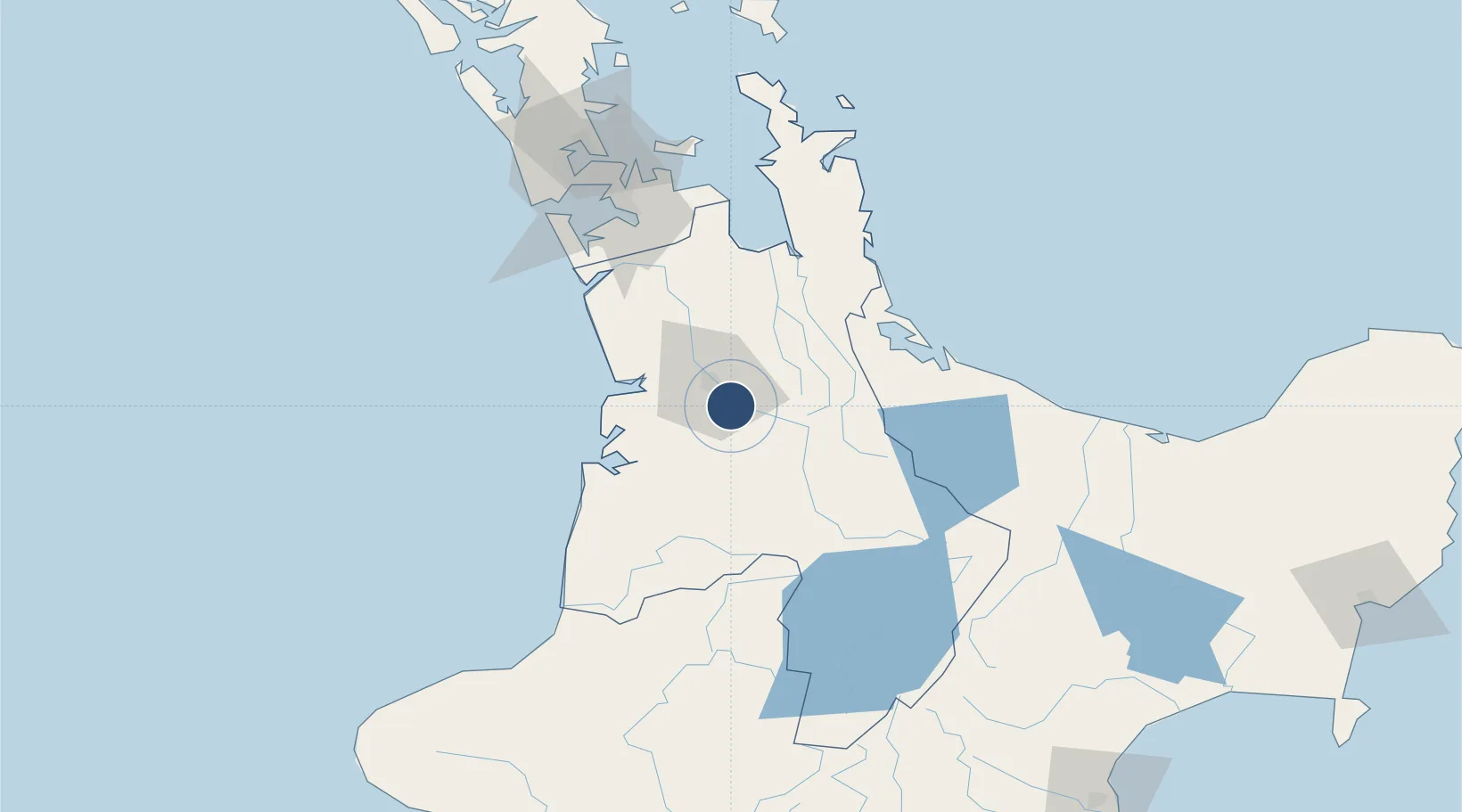
Nearby Logistics Neighbours
Airports
- 1Tauranga Airport79 km
- 2Rotorua Regional Airport90 km
- 3Ardmore Airport98 km
- 4Auckland International Airport107 km
- 5Taupo Airport117 km
Cities
- 1Hamilton14 km
- 2Morrinsville30 km
- 3Taharoa61 km
- 4Paeroa61 km
- 5Tauranga72 km
Ports
- 1Tauranga78 km
- 2Manukau Harbor115 km
- 3Auckland124 km
- 4New Plymouth175 km
- 5Napier226 km
Trade Zones
- 1Hicks Bay Area Special Economic Zone248 km
- 2Rotuma-Kadavu Tax-Free Region2214 km
- 3Kalabu Tax Free Zone2220 km
- 4Nausori-Ba Tax-Free Region2228 km
- 5Lautoka Special Zone2261 km
DatabookThe Record of Consolidated Knowledge
New Zealand beyond logistics?