UN/LOCODE hub · New Zealand
NZHLZ
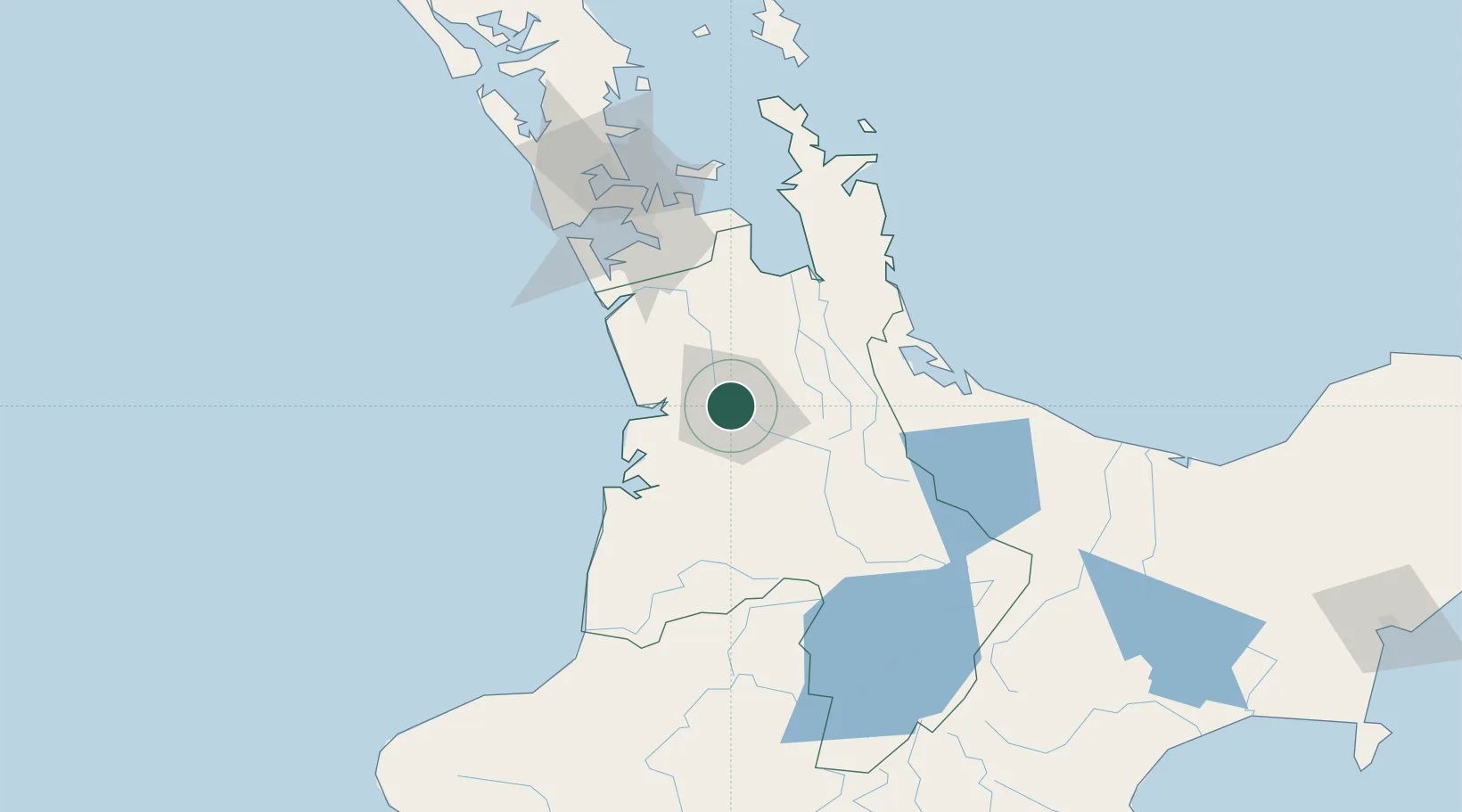
Hamilton
-37.7666°, 175.2419°
189,700
Population
3
Transport functions
Transport Functions
Rail
Road
Airport
Hub Profile
Place type
Regional capital
Region
Waikato Region
Population
189,700
Time zone
Pacific/Auckland
Elevation
39 m
Logistics facilities
3
Location
Nearby Logistics Neighbours
Cities
- 1Morrinsville29 km
- 2Paeroa57 km
- 3Taharoa62 km
- 4Tauranga77 km
- 5Drury79 km
Ports
- 1Tauranga83 km
- 2Manukau Harbor101 km
- 3Auckland110 km
- 4New Plymouth179 km
- 5Whangarei230 km
Airports
- 1Hamilton International Airport14 km
- 2Tauranga Airport85 km
- 3Ardmore Airport85 km
- 4Auckland International Airport93 km
- 5Rotorua Regional Airport102 km
Trade Zones
- 1Hicks Bay Area Special Economic Zone255 km
- 2Rotuma-Kadavu Tax-Free Region2204 km
- 3Kalabu Tax Free Zone2211 km
- 4Nausori-Ba Tax-Free Region2218 km
- 5Lautoka Special Zone2250 km
DatabookThe Record of Consolidated Knowledge
New Zealand beyond logistics?