Medium airport · New Zealand
Whakatāne AirportNZWK
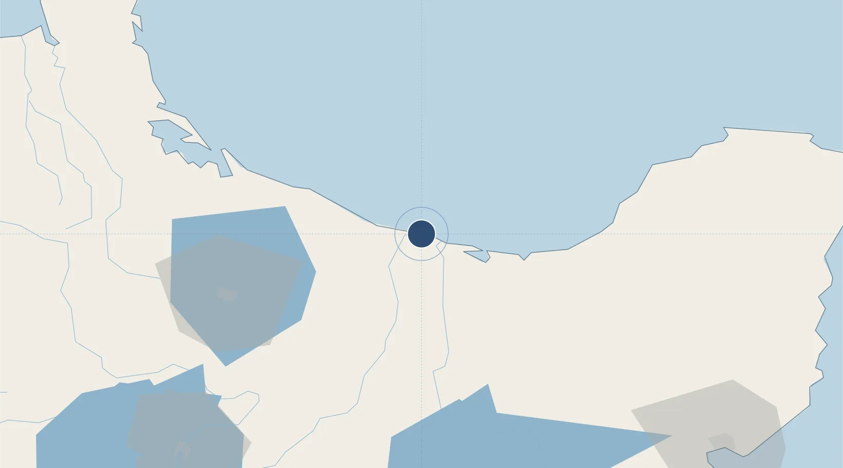
-37.9222°, 176.9170°
4,200 ft
Longest runway
3
Runways
20 ft
Elevation
Runway & Layout

Radio Frequencies
CTAF
118.6 MHz
AFIS
125.5 MHz
CHRISTCHURCH FIS
PAL
118.6 MHz
5 Pulses at 1s interval activates lights for 30min.
Navaids
WK NDB-DME Whakatane 0.36 MHz
Runways · 3
| Runway | Dimensions | Surface | True heading | Lit |
|---|---|---|---|---|
| 09L/27R | 4,200 × 100ft | Asphalt | 113° | ✓ |
| 09R/27L | 2,461 × 98ft | Grass | 113° | — |
| 09/27 | — | Unknown | — | — |
Airport Specifications
IATA code
WHK
ICAO code
NZWK
Airport class
Medium airport
Scheduled service
Yes
Runway surface
Asphalt
Served city
Whakatāne
Location
Nearby Logistics Neighbours
Airports
- 1Rotorua Regional Airport57 km
- 2Tauranga Airport69 km
- 3Taupo Airport116 km
- 4Gisborne Airport124 km
- 5Wairoa Airport128 km
Cities
- 1Opotiki37 km
- 2White Island49 km
- 3Tauranga75 km
- 4Morrinsville125 km
- 5Paeroa125 km
Ports
- 1Tauranga73 km
- 2Gisborne128 km
- 3Napier174 km
- 4Manukau Harbor218 km
- 5Auckland224 km
Trade Zones
- 1Hicks Bay Area Special Economic Zone113 km
- 2Rotuma-Kadavu Tax-Free Region2204 km
- 3Kalabu Tax Free Zone2211 km
- 4Nausori-Ba Tax-Free Region2218 km
- 5Lautoka Special Zone2258 km
DatabookThe Record of Consolidated Knowledge
New Zealand beyond logistics?