Medium airport · New Zealand
Rotorua Regional AirportNZRO
-38.1092°, 176.3170°
5,321 ft
Longest runway
3
Runways
935 ft
Elevation
Runway & Layout

Radio Frequencies
ATIS
128.8 MHz
TWR
121.2 MHz
APP
119.5 MHz
CHRISTCHURCH APP
CTAF
121.2 MHz
Navaids
RO VOR-DME Rotorua 112.10 MHz
Runways · 3
| Runway | Dimensions | Surface | True heading | Lit |
|---|---|---|---|---|
| 18R/36L | 5,321 × 98ft | Asphalt | 205° | ✓ |
| 18L/36R | 2,732 × 164ft | Grass | 206° | — |
| 18/36 | — | Unknown | — | — |
Airport Specifications
IATA code
ROT
ICAO code
NZRO
Airport class
Medium airport
Scheduled service
Yes
Runway surface
Asphalt
Served city
Rotorua
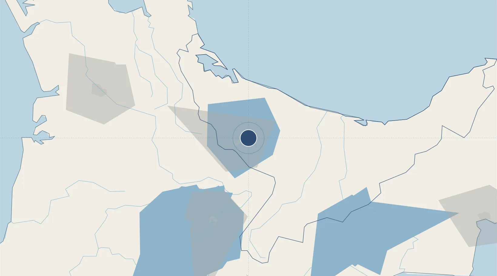
Location
Nearby Logistics Neighbours
Airports
- 1Tauranga Airport50 km
- 2Whakatāne Airport57 km
- 3Taupo Airport73 km
- 4Hamilton International Airport90 km
- 5Wairoa Airport138 km
Cities
- 1Tauranga51 km
- 2Opotiki85 km
- 3Morrinsville86 km
- 4Paeroa99 km
- 5White Island100 km
Ports
- 1Tauranga55 km
- 2Napier161 km
- 3Gisborne162 km
- 4Manukau Harbor188 km
- 5Auckland196 km
Trade Zones
- 1Hicks Bay Area Special Economic Zone170 km
- 2Rotuma-Kadavu Tax-Free Region2230 km
- 3Kalabu Tax Free Zone2236 km
- 4Nausori-Ba Tax-Free Region2243 km
- 5Lautoka Special Zone2281 km
DatabookThe Record of Consolidated Knowledge
New Zealand beyond logistics?