Channel & Berth Profile
Pilotage, Tugs & Services
Pilotage compulsoryYES
Pilotage availableYES
Tug assistanceYES
Salvage tugsYES
Shore powerYES
Potable waterYES
Diesel bunkersYES
MedicalYES
Garbage disposalYES
Facilities & Capabilities
Container—
Ro-Ro—
Liquid bulk—
Dry bulk—
Oil terminal—
Break bulk—
Dry dock—
RepairsNO
Bunkering—
Rail linkYES
Dangerous cargo—
ISPS security—
Harbour Specifications
Harbour size
Small
Harbour type
River (Basins)
Shelter
Good
Water body
South Pacific Ocean
Tidal range
1 m
Overhead limit
No
Pilotage
Yes
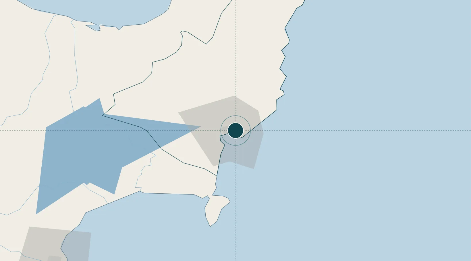
Location
Nearby Logistics Neighbours
Ports
- 1Napier132 km
- 2Tauranga200 km
- 3Wanganui295 km
- 4Manukau Harbor345 km
- 5New Plymouth349 km
Cities
- 1Opotiki92 km
- 2Seaview131 km
- 3Napier134 km
- 4White Island146 km
- 5Tauranga200 km
Airports
- 1Gisborne Airport5 km
- 2Wairoa Airport67 km
- 3Whakatāne Airport128 km
- 4Hawke's Bay Airport134 km
- 5Rotorua Regional Airport162 km
Trade Zones
- 1Hicks Bay Area Special Economic Zone119 km
- 2Rotuma-Kadavu Tax-Free Region2283 km
- 3Kalabu Tax Free Zone2288 km
- 4Nausori-Ba Tax-Free Region2296 km
- 5Lautoka Special Zone2341 km
DatabookThe Record of Consolidated Knowledge
New Zealand beyond logistics?