Channel & Berth Profile
Pilotage, Tugs & Services
Pilotage compulsoryYES
Pilotage availableYES
Potable waterYES
Diesel bunkersYES
MedicalYES
Facilities & Capabilities
Container—
Ro-Ro—
Liquid bulk—
Dry bulk—
Oil terminal—
Break bulk—
Dry dock—
RepairsNO
BunkeringYES
Rail linkYES
Dangerous cargo—
ISPS security—
Harbour Specifications
Harbour size
Small
Harbour type
Coastal (Natural)
Shelter
Excellent
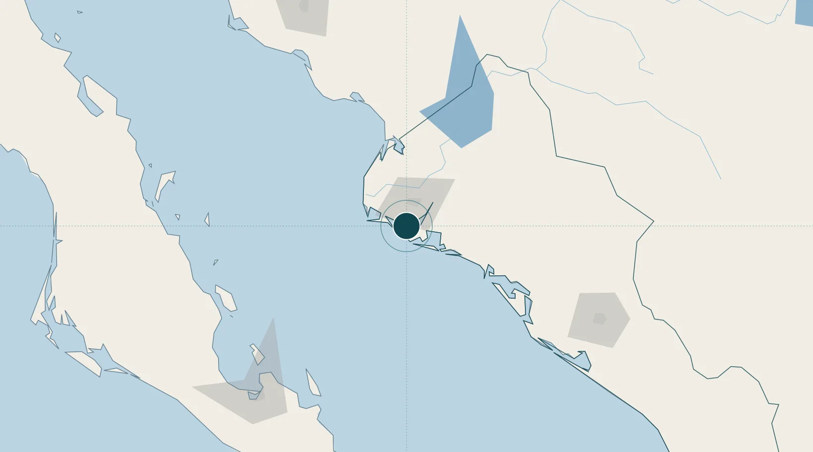
Water body
Gulf of California; North Pacific Ocean
Tidal range
3 m
Overhead limit
Yes
Pilotage
Yes
Location
Nearby Logistics Neighbours
Ports
- 1Pichilingue196 km
- 2La Paz203 km
- 3San Juan De La Costa212 km
- 4Guaymas316 km
- 5Isla San Marcos350 km
Cities
- 1Guasave62 km
- 2Guamúchil98 km
- 3Tamaulipas168 km
- 4Pichilingue192 km
- 5Culiacán192 km
Airports
Trade Zones
- 1FTZ No. 060 Nogales665 km
- 2FTZ No. 139 Sierra Vista673 km
- 3FTZ No. 068 El Paso740 km
- 4FTZ No. 150 El Paso740 km
- 5FTZ No. 174 Pima County766 km
DatabookThe Record of Consolidated Knowledge
Mexico beyond logistics?