Foreign Trade Zone · United States

FTZ No. 068 El Paso Active

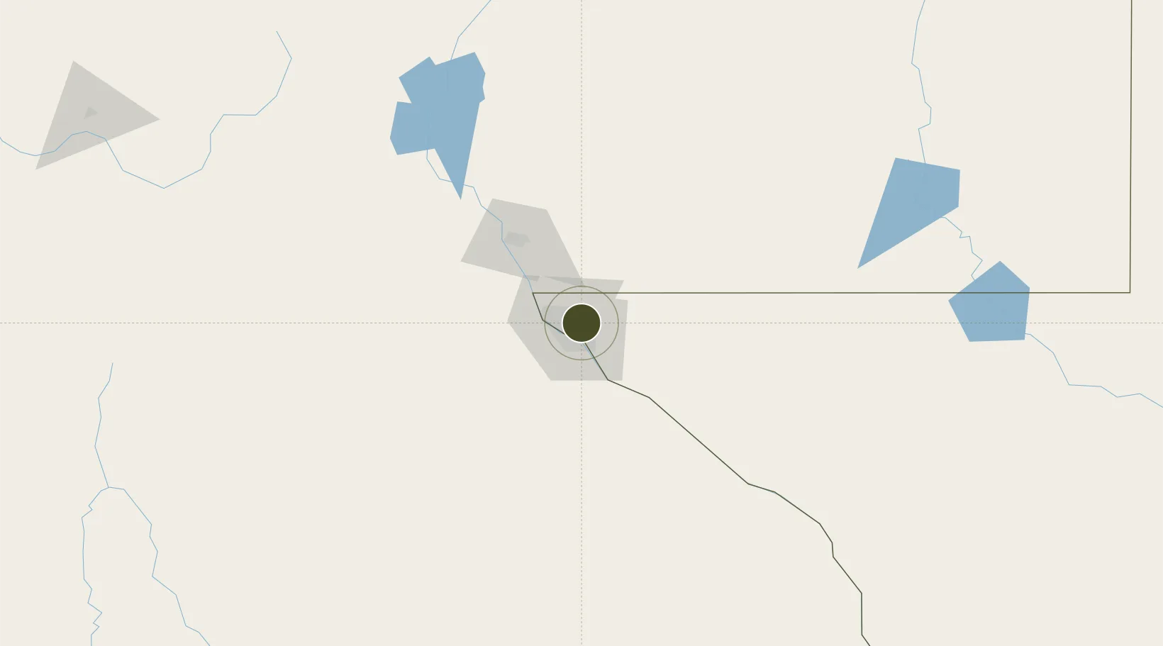
31.8191°, -106.3678°
616.9 km
Nearest port
1.3 km
Nearest airport

Gateway access

Nearest neighbours — logibook spatial index (haversine) over the source coordinates

Zone profile

Zone type
Foreign Trade Zone
Open Zone Map
Region
Texas
Open Zone Map
Status
Active
Open Zone Map
Management
Public
Open Zone Map
Operator
City of El Paso
Open Zone Map
Legal framework
Foreign-Trade Zones Act
Open Zone Map

Location

Location of ozm-4864
Natural Earth 10m (public domain) · Texas · ozm-4864 · 31.82, -106.37GoogleOSMYandex

Nearby Logistics Neighbours

Ports
  1. 1Guaymas617 km
  2. 2Topolobampo740 km
  3. 3Isla San Marcos757 km
  4. 4Santa Rosalia759 km
  5. 5Pichilingue925 km
Nearest neighbours — logibook spatial index (haversine) over the source coordinates
Airports
  1. 1El Paso International Airport1 km
  2. 2Biggs Army Air Field (Fort Bliss)4 km
  3. 3Abraham González International Airport21 km
  4. 4Las Cruces International Airport74 km
  5. 5Holloman Air Force Base118 km
Nearest neighbours — logibook spatial index (haversine) over the source coordinates
Cities
  1. 1Fort Bliss5 km
  2. 2Socorro20 km
  3. 3Canutillo26 km
  4. 4Fabens41 km
  5. 5Tornillo51 km
Nearest neighbours — logibook spatial index (haversine) over the source coordinates
Trade Zones
  1. 1FTZ No. 150 El Paso0 km
  2. 2FTZ No. 197 Dona Ana County116 km
  3. 3FTZ No. 110 Albuquerque365 km
  4. 4FTZ No. 139 Sierra Vista373 km
  5. 5FTZ No. 165 Midland395 km
Nearest neighbours — logibook spatial index (haversine) over the source coordinates
DatabookThe Record of Consolidated Knowledge
United States beyond logistics?
Browse databook

All Sources

Trade ZonesOpen Zone Map
CC BY
Portsthe NGA World Port Index
Public domain (US gov)
AirportsOurAirports
Public domain
LocationsUN/LOCODE
UN/LOCODE — free
← United States trade zones