Medium airport · Mexico

Valle del Fuerte International AirportMMLM

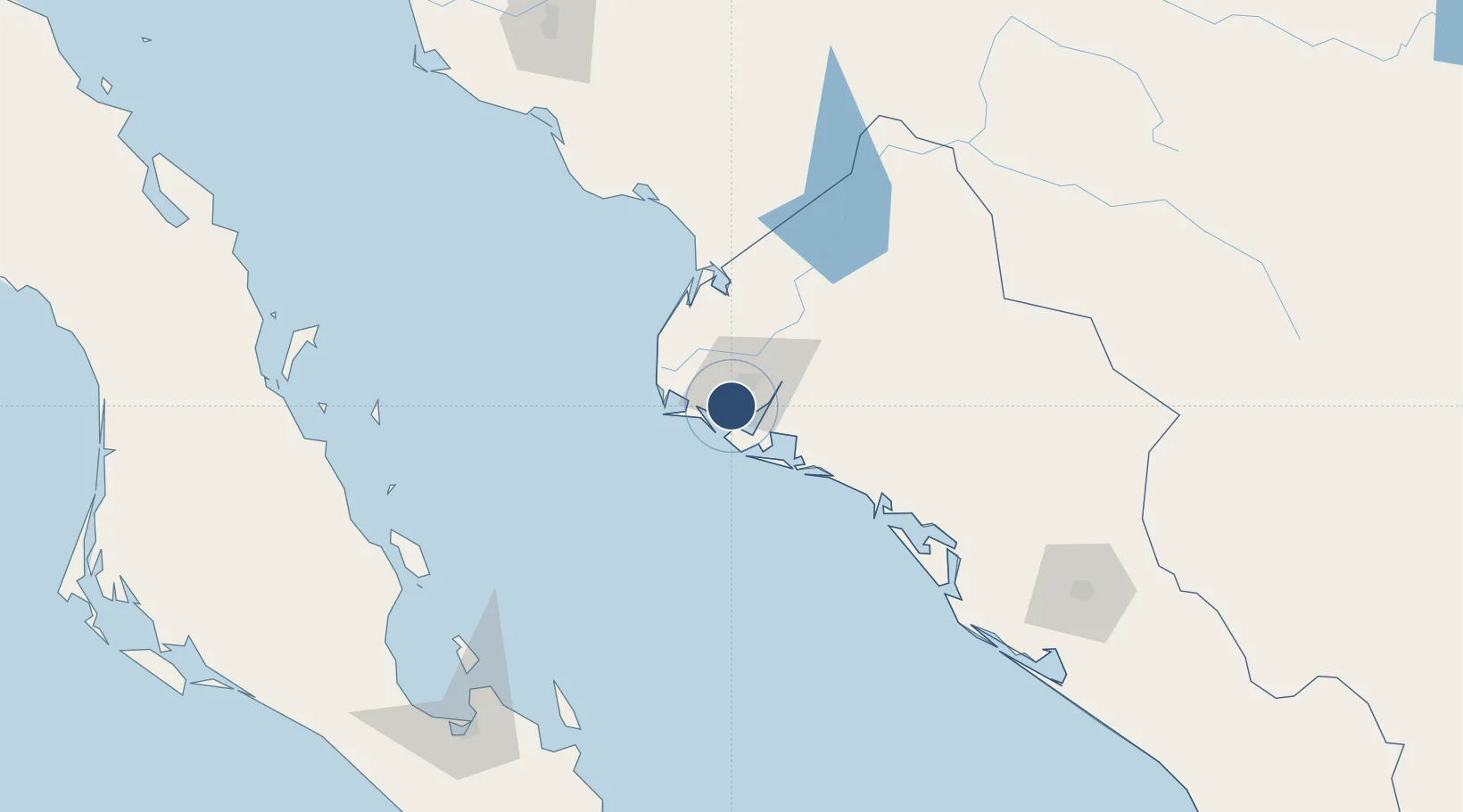
25.6855°, -109.0812°
6,562 ft
Longest runway
1
Runways
16 ft
Elevation

Runway & Layout

Valle del Fuerte International Airport runway & taxiway layout
Runway & taxiway layout — OpenStreetMap (ODbL) / OurAirports

Radio Frequencies

TWR
118.8 MHz
MOCHIS TWR
OurAirports

Navaids

LMM VOR-DME Mochis 115.50 MHz
OurAirports

Runways · 1

RunwayDimensions SurfaceTrue headingLit
09/27 6,562 × 148ft Asphalt 100°
OurAirports

Airport Specifications

IATA code
LMM
OurAirports
ICAO code
MMLM
OurAirports
Airport class
Medium airport
OurAirports
Scheduled service
Yes
OurAirports
Runway surface
Asphalt
OurAirports
Served city
Los Mochis
OurAirports

Location

Location of MMLM
Natural Earth 10m (public domain) · Sinaloa · MMLM · 25.69, -109.08GoogleOSMYandex

Nearby Logistics Neighbours

Airports
  1. 1Camaguey-Campo Cuatro Milpas Airport55 km
  2. 2Bachigualato Federal International Airport191 km
  3. 3Ciudad Obregón International Airport204 km
  4. 4Manuel Márquez de León International Airport221 km
  5. 5Loreto International Airport229 km
Nearest neighbours — logibook spatial index (haversine) over the source coordinates
Cities
  1. 1Topolobampo10 km
  2. 2Guasave65 km
  3. 3Guamúchil101 km
  4. 4Tamaulipas174 km
  5. 5Culiacán198 km
Nearest neighbours — logibook spatial index (haversine) over the source coordinates
Ports
  1. 1Topolobampo10 km
  2. 2Pichilingue202 km
  3. 3La Paz210 km
  4. 4San Juan De La Costa217 km
  5. 5Guaymas308 km
Nearest neighbours — logibook spatial index (haversine) over the source coordinates
Trade Zones
  1. 1FTZ No. 060 Nogales655 km
  2. 2FTZ No. 139 Sierra Vista663 km
  3. 3FTZ No. 068 El Paso731 km
  4. 4FTZ No. 150 El Paso731 km
  5. 5FTZ No. 174 Pima County756 km
Nearest neighbours — logibook spatial index (haversine) over the source coordinates
DatabookThe Record of Consolidated Knowledge
Mexico beyond logistics?
Browse databook

All Sources

AirportsOurAirports
Public domain
Portsthe NGA World Port Index
Public domain (US gov)
LocationsUN/LOCODE
UN/LOCODE — free
Trade Zonesthe World Bank SEZ database
CC BY 4.0
Trade ZonesOpen Zone Map
CC BY
InfrastructureOpenStreetMap
ODbL 1.0
← Mexico airports