Channel & Berth Profile
Pilotage, Tugs & Services
Pilotage compulsoryYES
Pilotage availableYES
Tug assistanceNO
Potable waterYES
Facilities & Capabilities
Container—
Ro-Ro—
Liquid bulk—
Dry bulk—
Oil terminal—
Break bulk—
Dry dock—
Repairs—
Bunkering—
Rail link—
Dangerous cargo—
ISPS security—
Harbour Specifications
Harbour size
Very Small
Harbour type
Open Roadstead
Shelter
Poor
Water body
Gulf of California; North Pacific Ocean
Tidal range
2 m
Pilotage
Yes
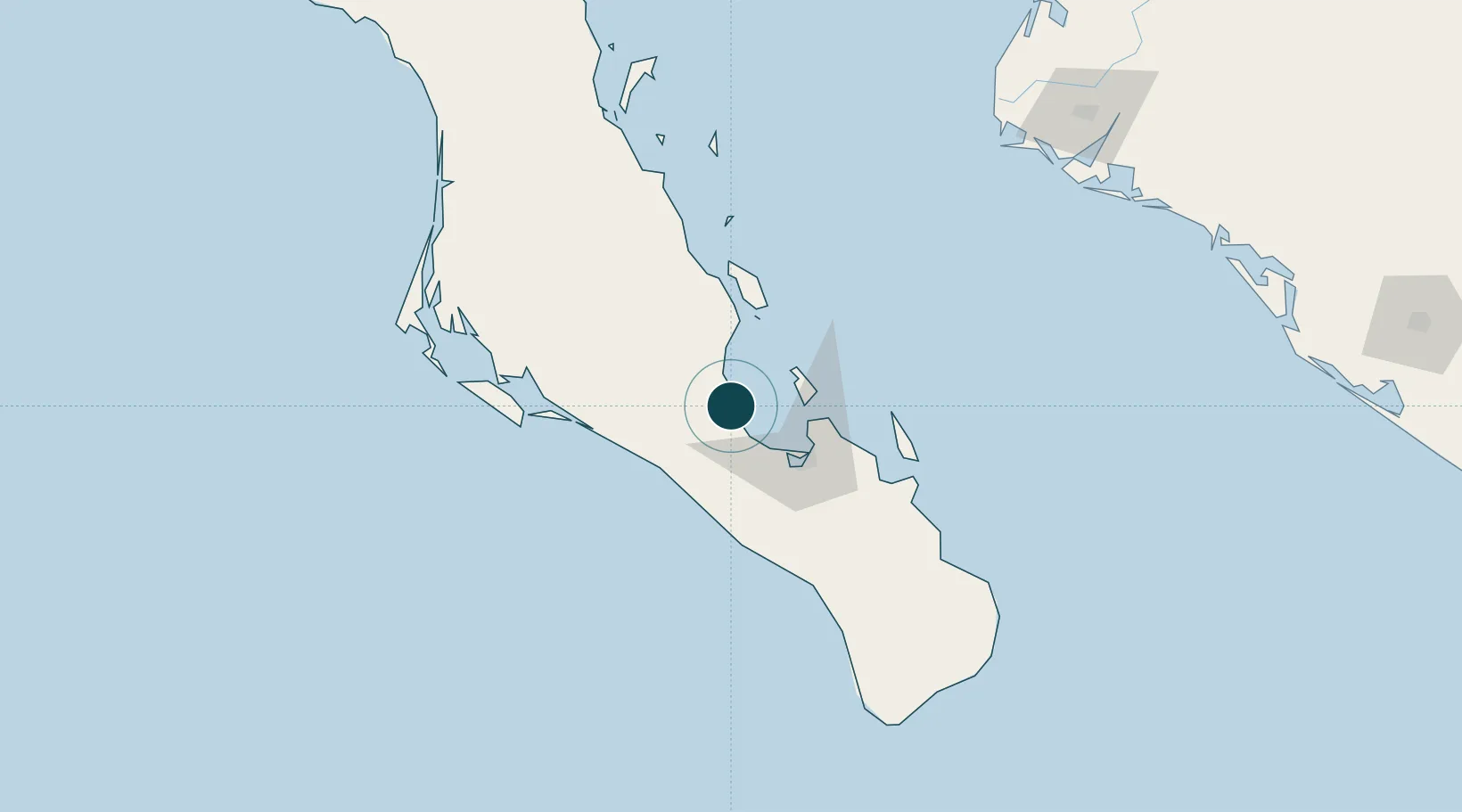
Location
Nearby Logistics Neighbours
Ports
- 1Pichilingue40 km
- 2La Paz47 km
- 3Topolobampo212 km
- 4Isla San Marcos340 km
- 5Santa Rosalia363 km
Cities
- 1Pichilingue40 km
- 2La Paz50 km
- 3San Jose del Cabo182 km
- 4Cabo San Lucas188 km
- 5Topolobampo213 km
Airports
Trade Zones
- 1FTZ No. 060 Nogales773 km
- 2FTZ No. 139 Sierra Vista796 km
- 3FTZ No. 174 Pima County877 km
- 4FTZ No. 068 El Paso928 km
- 5FTZ No. 150 El Paso928 km
DatabookThe Record of Consolidated Knowledge
Mexico beyond logistics?