UN/LOCODE hub · Mexico
MXTMP

Tamaulipas

24.9000°, -107.5833°
10
Population
3
Transport functions

Transport Functions

Port
Road
Multimodal
UN/LOCODE

Hub Profile

Place type
Populated place
GeoNames
Region
Sinaloa
GeoNames
Population
10
GeoNames
Time zone
America/Mazatlan
GeoNames
Elevation
39 m
GeoNames

Location

Location of MXTMP
Natural Earth 10m (public domain) · Sinaloa · MXTMP · 24.90, -107.58GoogleOSMYandex

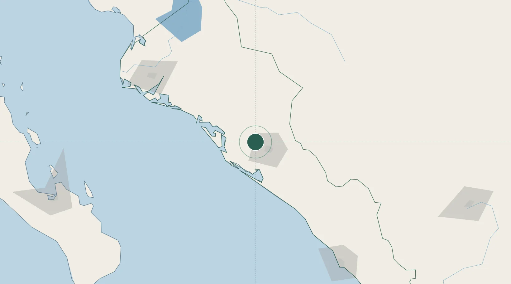
Nearby Logistics Neighbours

Cities
  1. 1Culiacán24 km
  2. 2Guamúchil82 km
  3. 3Guasave114 km
  4. 4Topolobampo167 km
  5. 5Puerta213 km
Nearest neighbours — logibook spatial index (haversine) over the source coordinates
Ports
  1. 1Topolobampo168 km
  2. 2Mazatlan223 km
  3. 3Pichilingue287 km
  4. 4La Paz288 km
  5. 5San Juan De La Costa320 km
Nearest neighbours — logibook spatial index (haversine) over the source coordinates
Airports
  1. 1Bachigualato Federal International Airport19 km
  2. 2Camaguey-Campo Cuatro Milpas Airport127 km
  3. 3Valle del Fuerte International Airport174 km
  4. 4General Rafael Buelna International Airport235 km
  5. 5Los Cabos International Airport291 km
Nearest neighbours — logibook spatial index (haversine) over the source coordinates
Trade Zones
  1. 1FTZ No. 068 El Paso779 km
  2. 2FTZ No. 150 El Paso779 km
  3. 3FTZ No. 139 Sierra Vista786 km
  4. 4FTZ No. 060 Nogales788 km
  5. 5FTZ No. 096 Eagle Pass820 km
Nearest neighbours — logibook spatial index (haversine) over the source coordinates
DatabookThe Record of Consolidated Knowledge
Mexico beyond logistics?
Browse databook

All Sources

LocationsUN/LOCODE
UN/LOCODE — free
LocationsGeoNames
CC BY 4.0
Portsthe NGA World Port Index
Public domain (US gov)
AirportsOurAirports
Public domain
Trade Zonesthe World Bank SEZ database
CC BY 4.0
Trade ZonesOpen Zone Map
CC BY
← Mexico locations