UN/LOCODE hub · Mexico
MXGUL

Guamúchil

25.4667°, -108.1000°
72,500
Population
1
Transport functions

Transport Functions

Multimodal
UN/LOCODE

Hub Profile

Place type
Populated place
GeoNames
Region
Sinaloa
GeoNames
Population
72,500
GeoNames
Time zone
America/Mazatlan
GeoNames
Elevation
46 m
GeoNames

Location

Location of MXGUL
Natural Earth 10m (public domain) · Sinaloa · MXGUL · 25.47, -108.10GoogleOSMYandex

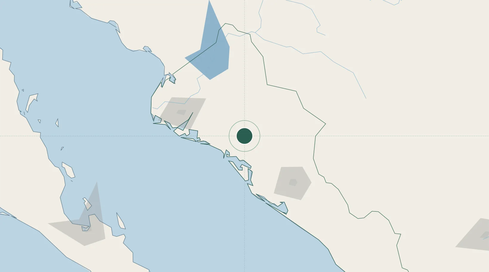
Nearby Logistics Neighbours

Cities
  1. 1Guasave37 km
  2. 2Tamaulipas82 km
  3. 3Topolobampo97 km
  4. 4Culiacán105 km
  5. 5Pichilingue259 km
Nearest neighbours — logibook spatial index (haversine) over the source coordinates
Ports
  1. 1Topolobampo98 km
  2. 2Pichilingue262 km
  3. 3La Paz266 km
  4. 4San Juan De La Costa288 km
  5. 5Mazatlan304 km
Nearest neighbours — logibook spatial index (haversine) over the source coordinates
Trade Zones
  1. 1FTZ No. 139 Sierra Vista710 km
  2. 2FTZ No. 060 Nogales710 km
  3. 3FTZ No. 068 El Paso726 km
  4. 4FTZ No. 150 El Paso726 km
  5. 5FTZ No. 197 Dona Ana County776 km
Nearest neighbours — logibook spatial index (haversine) over the source coordinates
DatabookThe Record of Consolidated Knowledge
Mexico beyond logistics?
Browse databook

All Sources

LocationsUN/LOCODE
UN/LOCODE — free
LocationsGeoNames
CC BY 4.0
Portsthe NGA World Port Index
Public domain (US gov)
AirportsOurAirports
Public domain
Trade Zonesthe World Bank SEZ database
CC BY 4.0
Trade ZonesOpen Zone Map
CC BY
← Mexico locations