Transport Functions
Port
Road
Hub Profile
Place type
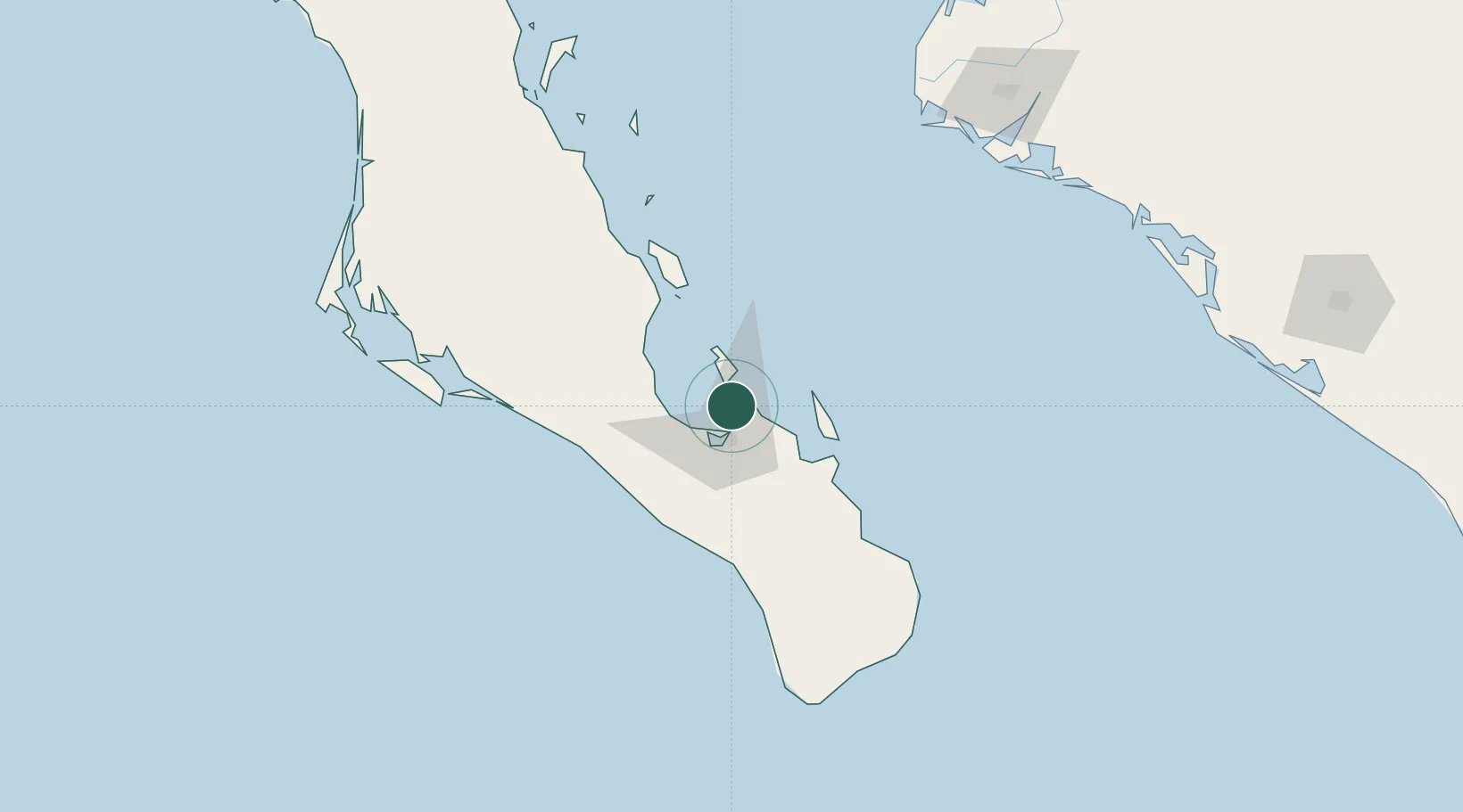
Populated place
Region
Baja California Sur
Time zone
America/Mazatlan
Elevation
3 m
Location
Nearby Logistics Neighbours
Cities
- 1La Paz19 km
- 2San Jose del Cabo153 km
- 3Cabo San Lucas164 km
- 4Topolobampo193 km
- 5Guasave235 km
Ports
- 1La Paz15 km
- 2San Juan De La Costa40 km
- 3Topolobampo192 km
- 4Isla San Marcos367 km
- 5Santa Rosalia391 km
Airports
Trade Zones
- 1FTZ No. 060 Nogales786 km
- 2FTZ No. 139 Sierra Vista807 km
- 3FTZ No. 174 Pima County890 km
- 4FTZ No. 068 El Paso921 km
- 5FTZ No. 150 El Paso921 km
DatabookThe Record of Consolidated Knowledge
Mexico beyond logistics?